Pricing Change
New pricing for orders of material from this site will come into place shortly. Charges for supply of digital images, digitisation on demand, prints and licensing will be altered.
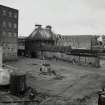
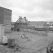
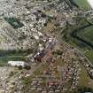
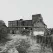
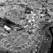
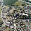
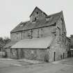
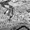
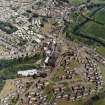
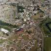
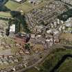
Edinburgh, Kirkliston, Path Brae, Kirkliston Distillery, Malt Barns, Bouble Kiln, Deposit Store And Ancillary Ranges
Distillery (19th Century) - (20th Century), Malt Kiln (19th Century) - (20th Century), Storehouse (19th Century) - (20th Century)
Site Name Edinburgh, Kirkliston, Path Brae, Kirkliston Distillery, Malt Barns, Bouble Kiln, Deposit Store And Ancillary Ranges
Classification Distillery (19th Century) - (20th Century), Malt Kiln (19th Century) - (20th Century), Storehouse (19th Century) - (20th Century)
Alternative Name(s) Kirkliston Maltings
Canmore ID 262453
Site Number NT17SW 182.03
NGR NT 12245 74230
Datum OSGB36 - NGR
Permalink http://canmore.org.uk/site/262453
- Council Edinburgh, City Of
- Parish Kirkliston (City Of Edinburgh/w Lothian)
- Former Region Lothian
- Former District City Of Edinburgh
- Former County West Lothian
NT17SW 182.03 centred 12207 74222
Excavation (15 June 2007 - 18 June 2008)
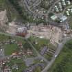
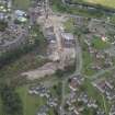
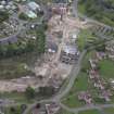
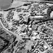
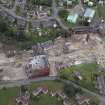
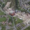
NT 1225 7419 Excavation was undertaken in three areas of the development, 15 June 2007–18 June 2008. The
work exposed structures and deposits relating to the early development of the distillery, including stone-built walls and a mill lade. Scarring on one of the walls indicated the former presence of a large water wheel. Additional structures that may have been associated with the earlier Lambs Mill were also recorded. An additional excavation of a 28m² area was undertaken in June 2008. A truncated brick flue with associated stone built wall, overlying an earlier stone lined culvert, was recorded during this work.
Archive: RCAHMS
Funder: Kenmore Homes (UK) Ltd
Erlend Hindmarch (AOC Archaeology Group), 2008
Standing Building Recording (1 January 2012 - 1 April 2012)
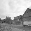
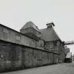
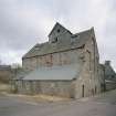
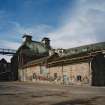
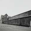
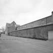
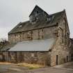
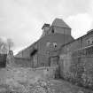
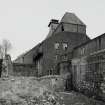
NT 12313 74254 A Level 3 standing building survey was carried out January – February 2012 on a Category C listed former double-kiln malting building prior to its demolition. A watching brief was also carried out to record the building as it was taken down. The building occupied a rectangular 21.5 x 11.5m footprint. The principal features on the ground floor were a pair of brick-built kilns that supplied heat and smoke to the second floor via smoke hoods. The first floor contained baffles above the kiln for diffusing heat and smoke to the hoods which in turn vented the malting floor. The drying malt was turned by an electric rotating plough that traversed the length of the building on a steel rack. The original rubble-built walls date to the late 19th century. The building was refitted during the early 20th century to accommodate the structural composite steelwork that carried the roof and the smoke hoods. Historical records show the building was constructed during the late 19th century and that it was part of a much larger range of distillery buildings.
Archive: RCAHMS (intended). Report: City of Edinburgh Council SMR
Funder: Turley Associates
Information from Mike Cressey (CFA Archaeology Ltd) March 2012.
OASIS ID: cfaarcha1-183526


