Pricing Change
New pricing for orders of material from this site will come into place shortly. Charges for supply of digital images, digitisation on demand, prints and licensing will be altered.
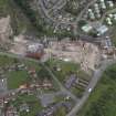
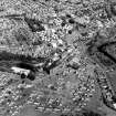
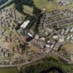
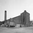
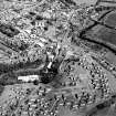
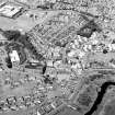
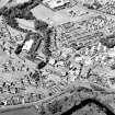
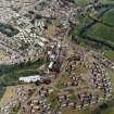
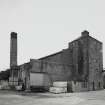
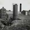
Edinburgh, Kirkliston, Path Brae, Kirkliston Distillery, Still House
Distillery (19th Century), Still House (19th Century)
Site Name Edinburgh, Kirkliston, Path Brae, Kirkliston Distillery, Still House
Classification Distillery (19th Century), Still House (19th Century)
Alternative Name(s) Kirkliston Maltings
Canmore ID 262426
Site Number NT17SW 182.02
NGR NT 12292 74239
Datum OSGB36 - NGR
Permalink http://canmore.org.uk/site/262426
- Council Edinburgh, City Of
- Parish Kirkliston (City Of Edinburgh/w Lothian)
- Former Region Lothian
- Former District City Of Edinburgh
- Former County West Lothian
NT17SW 182.00 NT 12292 74239
The Historic Scotland listing for the Still House only relates to the roughly square building on the SW of the block that appears on OS landline as at this time. The 10 figure grid reference is centred for the still house and not the remainder of that building. LBLP 08/2004 GJK
Standing Building Recording (1 February 2015 - 30 March 2015)
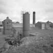
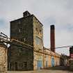
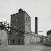
NT 12292 74239 A Level 2 building survey was undertaken, February – March 2015, on a category C listed former still house. The original rubble-built walls of the structure date to the mid- to late 19th century. The five-storey building had openings in the second to fourth floor to accommodate a Coffey Still that had two large vertical chambers running between these floors. The exterior E-facing elevation had evidence of two phases of building additions, which had been demolished in 2006.
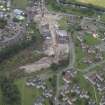
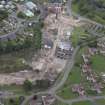
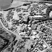
A watching brief that was carried out to monitor the main drainage track recorded a section of wall. It also confirmed that the site had been built up to create a construction platform using oil shale waste (blaes) to a considerable depth.
Apart from the main drainage track, the development was designed not to penetrate the layer of blaes, thus protecting any surviving archaeological remains in situ.
Archive: NRHE (intended). Report: City of Edinburgh Council and NRHE
Funder: Cruden Homes (East) Ltd
Michael Cressey and Stuart Mitchell – CFA Archaeology Ltd
(Source: DES, Volume 17)


