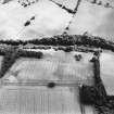
South Mains, Innerpeffray
Fort (Period Unassigned)
Site Name South Mains, Innerpeffray
Classification Fort (Period Unassigned)
Canmore ID 26009
Site Number NN91NW 20
NGR NN 9070 1795
Datum OSGB36 - NGR
Permalink http://canmore.org.uk/site/26009
- Council Perth And Kinross
- Parish Crieff
- Former Region Tayside
- Former District Perth And Kinross
- Former County Perthshire
NN91NW 20 9070 1795
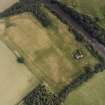
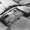
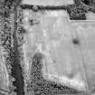
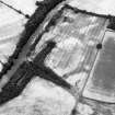
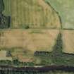
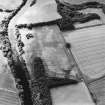
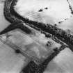
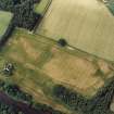
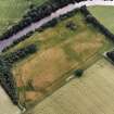
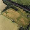
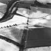
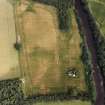
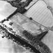
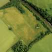
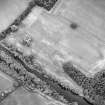
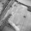
This fort has been recorded as cropmarks on oblique aerial photography (RCAHMSAP 1976, 1977, 1983, 1998, 2000) lying above the N bank of the River Earn, about 300m SE of South Mains.
Information from RCAHMS (KMM) 5 July 2004
Note (23 December 2014 - 18 May 2016)
Cropmarks have revealed a double-ditched fort exploiting a broad promontory formed where a shallow gully cuts through the lip of the escarpment overlooking the N bank of the River Earn about 150m E of Innerpeffray Castle. While the escarpment forms the S flank of the fort, the gully forms the E flank, extending beyond the defences before turning back W into the field to the N, where its line can also be seen in the cropmarks. Elsewhere, from the N round to the W, two ditches have been dug in a broad arc; set about 8m apart, the broader inner ditch measuring about 4m in breadth. The interior measures 60m from NW to SE by a maximum of 70m transversely (0.27ha) immediately to the rear of the defences, thus extending to a little over 0.2ha when allowance is made for the presence of upcast ramparts. Aerial photographs taken in 1983 also reveal the line of an internal palisade set about 8m back from the inner lip of the inner ditch. The only other feature visible within the interior is a narrow ditch in the corner of the field, apparently cutting off access to the very tip of the promontory. The position of the entrance is unknown, but no gaps are visible in the defences on the NW quarter.
Information from An Atlas of Hillforts of Great Britain and Ireland – 18 May 2016. Atlas of Hillforts SC2644


