Pricing Change
New pricing for orders of material from this site will come into place shortly. Charges for supply of digital images, digitisation on demand, prints and licensing will be altered.
Upcoming Maintenance
Please be advised that this website will undergo scheduled maintenance on the following dates:
Thursday, 9 January: 11:00 AM - 3:00 PM
Thursday, 23 January: 11:00 AM - 3:00 PM
Thursday, 30 January: 11:00 AM - 3:00 PM
During these times, some functionality such as image purchasing may be temporarily unavailable. We apologise for any inconvenience this may cause.
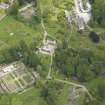
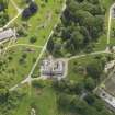
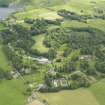
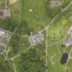
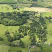
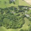
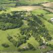
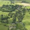
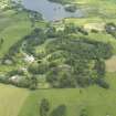
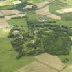
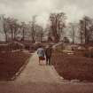
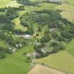
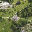
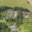
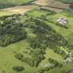
Threave House, Kitchen Garden
Kitchen Garden (Period Unassigned), Sundial (Period Unassigned)
Site Name Threave House, Kitchen Garden
Classification Kitchen Garden (Period Unassigned), Sundial (Period Unassigned)
Alternative Name(s) Walled Garden
Canmore ID 259080
Site Number NX76SE 39.02
NGR NX 75094 60581
Datum OSGB36 - NGR
Permalink http://canmore.org.uk/site/259080
- Council Dumfries And Galloway
- Parish Kelton
- Former Region Dumfries And Galloway
- Former District Stewartry
- Former County Kirkcudbrightshire
Field Visit (2 June 1997 - 6 June 1997)
NX 7529 6041 An archaeological baseline survey was undertaken by Kirkdale Archaeology on the National Trust for Scotland Threave Estate in June 1997. The vast majority of archaeology recorded in the survey could be dated to the past two centuries, characterised by the intensive use of the area for cattle raising, and by low-level industrial archaeology and communications routes. The few traces of pre-industrial/pre-improvement archaeology included the possible prehistoric settlement site on top of Meikle Wood Hill, the find of a potentially pre-Iron Age saddle quern in a water feature, the site described as a 'native' settlement enclosure on Lodge Island, and potentially the few instances of rig and furrow recorded near to the farms. By far the most commonly encountered sites were theremains of field boundaries, recorded where they either underlay more modem boundaries, or where they followed a different line from the modern boundary- The historically documented Leveller's Revolt of the early 18th century, after which most of the enclosures were erected, gives a terminus post quern for this element of the Threave landscape, and the very close correlation between the 1st edition OS map, surveyed in 1848-9, and the modern pattern of enclosure indicates the success and relative permanence of this late 18th and 19th-century landscape.
G Ewart and A Dunn 1997
Sponsor: Historic Scotland and the National Trust for Scotland
Kirkdale Archaeology


