
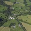
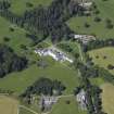
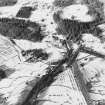
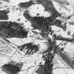
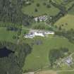
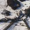
Atholl Estate, The Mains


Dairy (19th Century)
Site Name Atholl Estate, The Mains
Classification Dairy (19th Century)
Alternative Name(s) Blair Castle, The Dairy
Canmore ID 25793
Site Number NN86NE 31
NGR NN 86585 65970
Datum OSGB36 - NGR
Permalink http://canmore.org.uk/site/25793


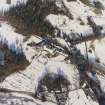


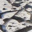


- Council Perth And Kinross
- Parish Blair Atholl
- Former Region Tayside
- Former District Perth And Kinross
- Former County Perthshire

