Following the launch of trove.scot in February 2025 we are now planning the retiral of some of our webservices. Canmore will be switched off on 24th June 2025. Information about the closure can be found on the HES website: Retiral of HES web services | Historic Environment Scotland
Castle Menzies, Home Farm
Cropmark(S) (Period Unknown), Pit(S) (Period Unassigned), Pit Defined Cursus (Neolithic), Pit Enclosure (Prehistoric)
Site Name Castle Menzies, Home Farm
Classification Cropmark(S) (Period Unknown), Pit(S) (Period Unassigned), Pit Defined Cursus (Neolithic), Pit Enclosure (Prehistoric)
Alternative Name(s) Farleyer
Canmore ID 25660
Site Number NN84NW 48
NGR NN 8304 4939
Datum OSGB36 - NGR
Permalink http://canmore.org.uk/site/25660
- Council Perth And Kinross
- Parish Weem
- Former Region Tayside
- Former District Perth And Kinross
- Former County Perthshire
Excavation (November 1999 - December 1999)
NN84NW 48 8304 4939
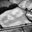
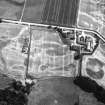
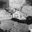
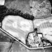
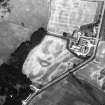
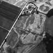
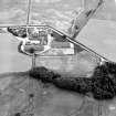
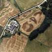
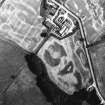
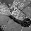
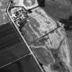
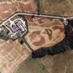
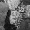
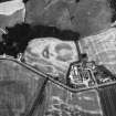
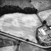
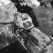
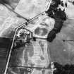
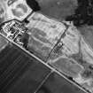
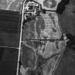
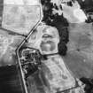
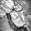
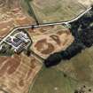
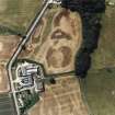
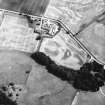
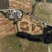
NN 830 493 Excavations were undertaken during November and December 1999 in advance of gravel extraction. The site was originally identified by cropmarks representing pits and post-holes in oblique aerial photographs. These features were recorded and partly excavated along with other features not visible on aerial photographs. The principal feature was an arc of 16 post-pits. To the W of this arc, and not visible on aerial photographs, were three parallel lines of post-holes. The northern line was followed in an extension to the excavation which revealed over 120 post-holes ending just to the E of West Lodge. At this point it turned S and continued for an unknown distance. The two other lines of post-holes ran parallel to the northern line, 15m and 35m to the S. Numerous other features were identified in the main excavation area, but these could not be interpreted as coherent groups or structures.
A full report has been lodged with the NMRS.
Sponsor: Historic Scotland
S Halliday 2000


