
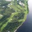
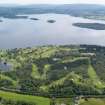
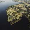
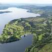
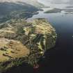
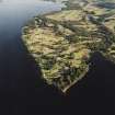
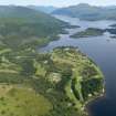
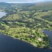
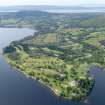
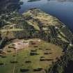
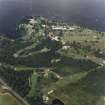
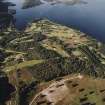
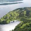
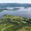
Rossdhu, Loch Lomond Golf Course


Golf Course (20th Century) (1993)
Site Name Rossdhu, Loch Lomond Golf Course
Classification Golf Course (20th Century) (1993)
Canmore ID 255741
Site Number NS38NE 66
NGR NS 35933 88812
Datum OSGB36 - NGR
Permalink http://canmore.org.uk/site/255741


- Council Argyll And Bute
- Parish Luss
- Former Region Strathclyde
- Former District Dumbarton
- Former County Dunbartonshire
NS38NE 66 NS 3595 8879
A watching brief and archaeological excavation was carried out by SUAT Ltd in 2005 ahead of a proposed extension to the championship golf course. The excavation revealed evidence of post-medieval and prehistoric occupation, particularly in the area known as Ross Park, a 30 hectare area of open parkland.
SUAT Ltd 2005

