Scheduled Maintenance
Please be advised that this website will undergo scheduled maintenance on the following dates: •
Tuesday 3rd December 11:00-15:00
During these times, some services may be temporarily unavailable. We apologise for any inconvenience this may cause.
Ardoch Bridge, Chapel And Graveyard
Burial Ground (Period Unknown), Chapel (Period Unknown)
Site Name Ardoch Bridge, Chapel And Graveyard
Classification Burial Ground (Period Unknown), Chapel (Period Unknown)
Alternative Name(s) Brace; Ardoch, Roman Fort; Ardoch, Roman Military Complex
Canmore ID 25248
Site Number NN80NW 3
NGR NN 8390 0991
Datum OSGB36 - NGR
Permalink http://canmore.org.uk/site/25248
- Council Perth And Kinross
- Parish Ardoch
- Former Region Tayside
- Former District Perth And Kinross
- Former County Perthshire
NN80NW 3 8390 0991
See also NN80NW 10 and NN80NW 13.
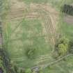
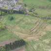
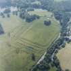
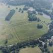
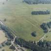
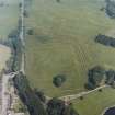
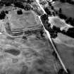
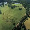
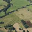
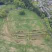
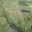
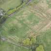
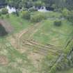
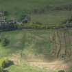
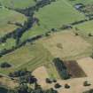
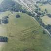
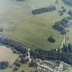
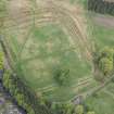
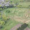
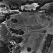
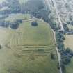
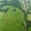
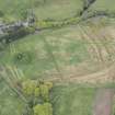
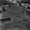
The remains of a chapel and graveyard can be seen in the centre of the Roman Fort (NN80NW 10) at Ardoch. The SW corner and small portions of the east and north walls of the chapel suggest that it measured about 40ft by 27ft. This unusual width implies that the north wall fragment is of an aisle. Architectural fragments suggest a 14th century date (although the 'T-plan' is typically post-Reformation - 17th century - Dunbar 1966).
The surrounding burial ground, c.80ft square, is bounded by a stone wall. Burials in wooden coffins were found within this area during the excavations of 1896-7.
D Christison et al 1898; J G Dunbar 1966.
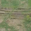
The site of the chapel, at NN 8390 0991, is marked by a roughly rectangular, but unsurveyable, mound, approximately 12.0m. by 6.0m. wide. The slight turf-covered footings of the wall of the burial ground are still visible.
Revised at 1/2500.
Visited by OS (R D) 9 June 1967.
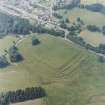
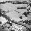
This monument falls within the Roman fort NN80NW 10, and also within the Scheduled area of the 'Ardoch, Roman military complex 900m NNE of Ardoch Bridge...'
Information from Historic Scotland, map attached to scheduling document dated 26 March 2008.


