
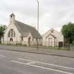
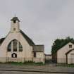
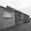
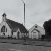
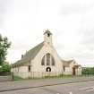
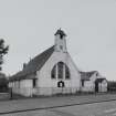
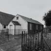
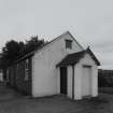
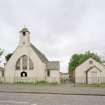
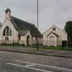
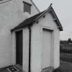
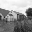
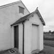
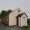
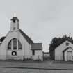
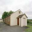
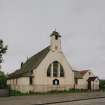
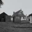
Stoneyburn, Main Street, Stoneyburn Parish Church, Hall


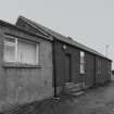
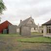
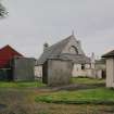
Church Hall (20th Century) - (21st Century), House (21st Century)
Site Name Stoneyburn, Main Street, Stoneyburn Parish Church, Hall
Classification Church Hall (20th Century) - (21st Century), House (21st Century)
Canmore ID 251218
Site Number NS96SE 46.01
NGR NS 97925 62703
Datum OSGB36 - NGR
Permalink http://canmore.org.uk/site/251218


- Council West Lothian
- Parish Whitburn
- Former Region Lothian
- Former District West Lothian
- Former County West Lothian
NS96SE 46.01 97925 62703
Note (22 April 2025)
A church is depicted on HES 5k map sheet NS96SE (late 20th century).
Information from HES (D Watson) 22 April 2025

