
Pricing Change
New pricing for orders of material from this site will come into place shortly. Charges for supply of digital images, digitisation on demand, prints and licensing will be altered.
'Castell Doin Dalig'


Mound (Period Unassigned)
Site Name 'Castell Doin Dalig'
Classification Mound (Period Unassigned)
Alternative Name(s) Ruchilside
Canmore ID 24843
Site Number NN72SE 3
NGR NN 7717 2078
Datum OSGB36 - NGR
Permalink http://canmore.org.uk/site/24843


- Council Perth And Kinross
- Parish Comrie (Perth And Kinross)
- Former Region Tayside
- Former District Perth And Kinross
- Former County Perthshire
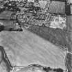
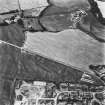
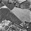
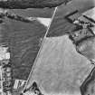
NN72SE 3 7717 2078.
"Castell Doin Dalig" or "the round Castle Hill on the point of the Muir" is shown on a plan of 1786. If it is artificial it may be a prehistoric cairn.
G Macdonald 1939
(NN 7717 2078) Still visible as a low mound in a ploughed field 360ft east of the farm of Newton.
O G S Crawford 1949
Visible as a slight, unsurveyable rise in the corner of an arable field. No trace of any cairn material could be found and no further information could be obtained.
Visited by OS (RD) 1 December 1966

