Pricing Change
New pricing for orders of material from this site will come into place shortly. Charges for supply of digital images, digitisation on demand, prints and licensing will be altered.
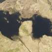
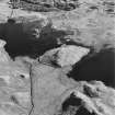
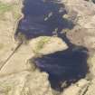
Loch Tromlee, Eilean Tighe Bhain
Castle (Medieval)
Site Name Loch Tromlee, Eilean Tighe Bhain
Classification Castle (Medieval)
Canmore ID 23471
Site Number NN02SW 13
NGR NN 0431 2493
Datum OSGB36 - NGR
Permalink http://canmore.org.uk/site/23471
- Council Argyll And Bute
- Parish Glenorchy And Inishail (Argyll And Bute)
- Former Region Strathclyde
- Former District Argyll And Bute
- Former County Argyll
NN02SW 13 0431 2493.
(NN 0431 2493) Castle (NR). (rems of) (NAT)
OS 1:10,000 map, (1975)
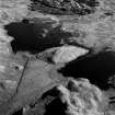
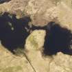
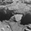
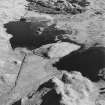
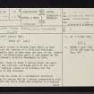
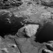
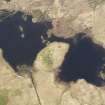
On the small island of Eilean Tighe Bhain in Loch Tromlee are the remains of a fortified dwelling, traditionally said to have been the seat of the McQuorquodales of Phantilands until it was sacked by the army of Alasdair Colkitto MacDonald in 1646.
The island, rises to about 2 metres above the water level of the loch but, although parts of the loch are very shallow, there is no evidence for the existence of any causeway.
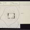
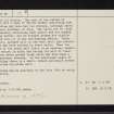
The remains are those of a rectangular structure measuring 9.5 metres E-W by 7 metres transversely with walls about one metre thick and standing to a maximum height of 2.7 metres. The rest of the island is littered with a mass of fallen stones indicating that the building may have had two storeys, although there is no clear evidence of this. The walls are of local rubble masonry containing much schist and are bonded with clay mortar, but no dressed stones are visible either in situ or in the surrounding debris. There is a small, splayed slit in the west wall, and similar openings may have existed in other walls. Near the east end of the south wall there is an opening, measuring 0.7 metres in width and having its sill at least 1-2 metres above ground level, which may have been a raised entrance doorway. In the south-east angle of the building there is a small, modern enclosure formed by a curving dry-stone wall. The building may be ascribed to the late 16th or early 17th century.
RCAHMS 1975, visited 1971.
As described.
Surveyed at 1:10 000 scale.
Visited by OS (R D) 2 December 1969.


