Pricing Change
New pricing for orders of material from this site will come into place shortly. Charges for supply of digital images, digitisation on demand, prints and licensing will be altered.
Eigg, Grulin Uachdrach
Corn Drying Kiln (Post Medieval), Enclosure(S) (Post Medieval), Field System (Post Medieval), Hut(S) (Post Medieval), Kiln Barn (Post Medieval), Mound (Period Unknown), Township (Post Medieval)
Site Name Eigg, Grulin Uachdrach
Classification Corn Drying Kiln (Post Medieval), Enclosure(S) (Post Medieval), Field System (Post Medieval), Hut(S) (Post Medieval), Kiln Barn (Post Medieval), Mound (Period Unknown), Township (Post Medieval)
Alternative Name(s) Upper Grulin
Canmore ID 22191
Site Number NM48SE 7
NGR NM 4550 8420
Datum OSGB36 - NGR
Permalink http://canmore.org.uk/site/22191
- Council Highland
- Parish Small Isles
- Former Region Highland
- Former District Lochaber
- Former County Inverness-shire
NM48SE 7 4550 8420.
A township, comprising one roofed, one partially roofed building, eighteen unroofed buildings, six enclosures and a field-system is depicted on the 1st edition of the OS 6-inch map (Inverness-shire, Island of Eigg 1880, sheet lxxii). One roofed building, twenty-two unroofed buildings, four enclosures and the field-system are shown on the current edition of the OS 1:10000 map (1976).
Information from RCAHMS (AKK) 9 December 1996.
Scheduled as Grulin Uachdrach, depopulated settlement.
Information from Historic Scotland, scheduling document dated 23 February 2004.
Field Visit (14 May 2001)
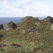
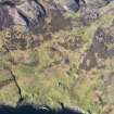
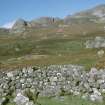
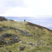
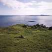
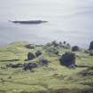
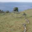
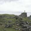
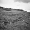
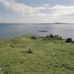
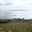
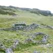
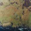
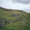
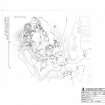
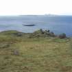
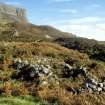
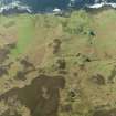
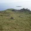
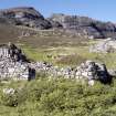
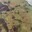
The township of Upper Grulin is situated on sloping ground above the sea-cliffs to the SW of An Sgurr and is spread over an area measuring roughly 300m from NE to SW by 150m transversely.
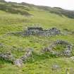
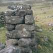
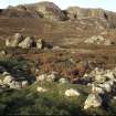
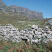
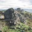
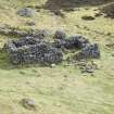
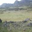
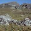
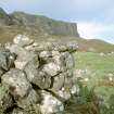
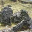
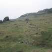
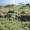
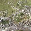
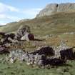
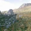
The visible remains comprise at least forty-two buildings, a kiln barn, a corn-drying kiln, three small huts, a well and several enclosures. While the huts are only c.2m square, the buildings range in size from 2.5m to 12.1m in length by 1.8m to 6.2m transversely, within walls up to 2.2m in height and 1.4 in thickness. Most are constructed in stone, some with squared internal corners and rounded external corners, but there are at least five examples with a turf core. Several of the larger building have a smaller structure set perpendicularly to one end, probably byres (205, 212 and 219). These are of roughly similar size, around 9m in length by 3m in breadth. One of the buildings (242) is still roofed and is used as a bothy (see NM48SE 28).
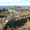
On the W edge of the township is a kiln barn (218) measuring 4.8m in length by 2.8m transversely; the kiln bowl measures 1.5m in diameter and is rubble-filled, although at least two upper courses are visible. A separate corn-drying kiln (233), situated about 85m NE of the kiln barn, measures 1.7m in diameter.
Four of the enclosures contain stack stands (200, 208, 213, 221). A sub-circular mound of earth and stone (222) , possibly the remains of an earlier structure, is situated 50m W of the corn drying kiln. It measures 11m from N to S by 10m transversely and 0.9m in height. Finally, what may possibly be St Catherine's Well (NM48SE 10) is situated on the SW extremity of the township (63); built of drystone rubble, it measures about 1m square and is sunk into the ground to a depth of 0.7m.
At the SW of the township there is also a dun (NM48SE 40) and near the centre there are two rock shelters (NM48SE 77).
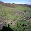
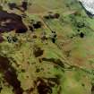
Around the township there are well-preserved fields of irregular plan, enclosed by substantial turf and stone dykes, within which fragments of rig cultivation can be traced. The field system covers an area of about 73 ha, and much of it was is depicted on the 1st edition of the OS 6-inch map (Inverness-shire, Island of Eigg 1880, sheet lxxii). The township was cleared of its occupants in the early 1850s (Dressler 1998, 83).
(EIGG01 63, 200-42, 583-586, 590, 594-5)
Visited by RCAHMS (SDB, ARG and MFTR) 14 May 2001
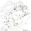
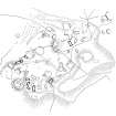
Measured Survey (15 October 2002)
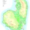
RCAHMS surveyed Grulin township on 15 October 2002 at a scale of 1:1000. The plan was redrawn in ink for publication (RCAHMS 2003) and later used as the basis of an illustration published in 2016 at a scale of 1:1250 (Hunter, fig. 3.45).


