
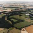
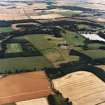
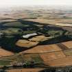
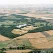
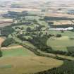
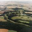
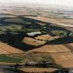
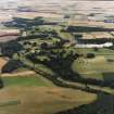
The Hirsel, Hirsel Lake


Lake (Period Unassigned)
Site Name The Hirsel, Hirsel Lake
Classification Lake (Period Unassigned)
Alternative Name(s) The Hirsel Policies
Canmore ID 219864
Site Number NT84SW 15.06
NGR NT 82508 40276
Datum OSGB36 - NGR
Permalink http://canmore.org.uk/site/219864


- Council Scottish Borders, The
- Parish Coldstream
- Former Region Borders
- Former District Berwickshire
- Former County Berwickshire

