
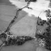
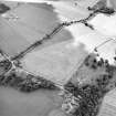
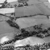
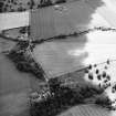
Edrom House, Edrom Lodge


Lodge (Period Unassigned)
Site Name Edrom House, Edrom Lodge
Classification Lodge (Period Unassigned)
Alternative Name(s) Mid Edrom
Canmore ID 219474
Site Number NT85NW 50.01
NGR NT 82844 55874
Datum OSGB36 - NGR
Permalink http://canmore.org.uk/site/219474


- Council Scottish Borders, The
- Parish Edrom
- Former Region Borders
- Former District Berwickshire
- Former County Berwickshire
NT85NW 50.01 82844 55874
NT85NW 24 82881 55902 Mid Edrom

