
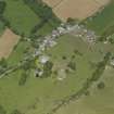
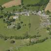
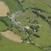
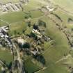
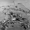
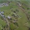
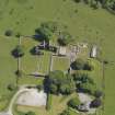
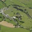
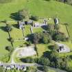
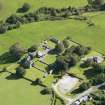
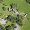
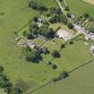
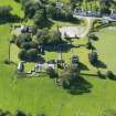
Dundrennan, Rerrickfield


Manse (Period Unassigned)
Site Name Dundrennan, Rerrickfield
Classification Manse (Period Unassigned)
Alternative Name(s) Dundrennan Manse; Kirkland Of Rerrick
Canmore ID 210289
Site Number NX74NW 126
NGR NX 74827 47466
Datum OSGB36 - NGR
Permalink http://canmore.org.uk/site/210289


- Council Dumfries And Galloway
- Parish Rerrick
- Former Region Dumfries And Galloway
- Former District Stewartry
- Former County Kirkcudbrightshire
NX74NW 126 74827 47466
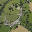
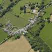
Dundrennan, Rerrickfield is named Kirkland of Rerrick on current OS GIS vector map sheet. It is depicted as a manse on OS GIS Epoch 4 map sheet. Information from RCAHMS (LKFJ), Feb. 2002.

