Pricing Change
New pricing for orders of material from this site will come into place shortly. Charges for supply of digital images, digitisation on demand, prints and licensing will be altered.
Castle Of Pittulie
Castle (Medieval), Dovecot (Period Unassigned)
Site Name Castle Of Pittulie
Classification Castle (Medieval), Dovecot (Period Unassigned)
Alternative Name(s) Pittulie Castle; Pittullie Castle
Canmore ID 20800
Site Number NJ96NW 6
NGR NJ 94519 67027
Datum OSGB36 - NGR
Permalink http://canmore.org.uk/site/20800
- Council Aberdeenshire
- Parish Pitsligo
- Former Region Grampian
- Former District Banff And Buchan
- Former County Aberdeenshire
NJ96NW 6 94519 67027
(NJ 9452 6703) Castle of Pittulie (NR) (In Ruins)
OS 6" map, (1928).
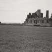
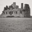
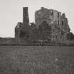
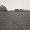
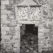
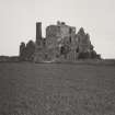
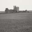
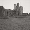
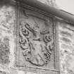
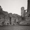
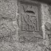
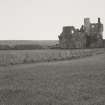
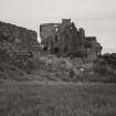
Pittulie Castle consists of an oblong block with a square tower in the NW corner. It was probably built about the beginning of the 17th century (some time before 1650). A skew-stone from the east gable of the main building is dated 1651.
D MacGibbon and T Ross 1887-92.
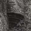
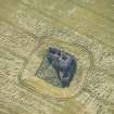
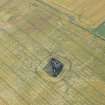
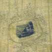
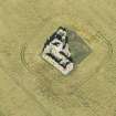
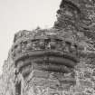
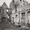
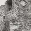
The castle still stands to roof height. Measuring 21.0 x 7.3m with walls 0.8m thick it is constructed of rubble masonry and has the remains of two corbelled turrets, one at the SW corner and the other at the east. The tower at the NW corner measures 5.8m by 5.4m., is constructed of rubble masonry and quoins and stands to roof height.
Adjacent to the NW side of the castle are the remains of several buildings - one of which stands to roof height - which appears to be of later date and may possibly have been farm buildings.
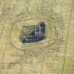
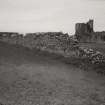
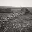
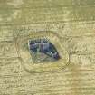
About 47.0m WSW of the castle are the remains of a dovecote which may have been associated with the castle Constructed of rubble masonry it has measured 4.2m by 3.8m; the south wall which still contains the remains of several nesting boxes stands to a height of 5.0m, but the north and east walls are reduced almost to ground level.
A wall, l.3m maximum width, extends from the SW corner of the castle to the dovecot, then turns SE and runs for a distance of about 85.0m to where it meets a modern field dyke. This wall is 5.0m high in places and appears to be contemporary with the castle and the dovecot.
Revised at 1:2500
Visited by OS (EGC) 28 November 1962.
The monument consists of the remains of Pittulie Castle, a defensive residence which is of 16th to 17th century date.
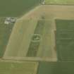
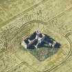
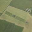
The L-shaped mansion lies in a cultivated field overlooking the sea. The earliest surviving part of the building is a three-storey, square tower which adjoins a lower block, lying E-W, and dating from about 1700.
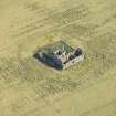
The remains of a barmkin wall and dovecot survive in the cultivated field around the castle.
Information from Historic Scotland, scheduling document dated February 1993.
Air photographic coverage listed.
NMRS, MS/712/19.


