
Pricing Change
New pricing for orders of material from this site will come into place shortly. Charges for supply of digital images, digitisation on demand, prints and licensing will be altered.
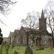
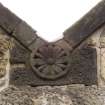
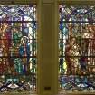
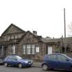
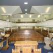
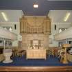
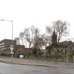
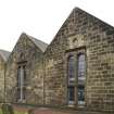
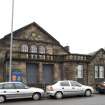
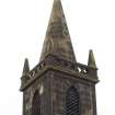
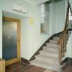
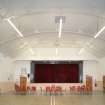
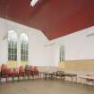
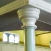
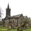
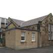
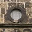
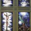
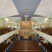
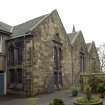
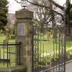
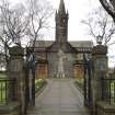
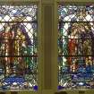
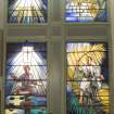
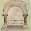
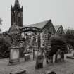
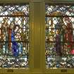
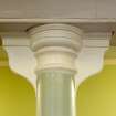
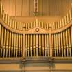
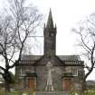
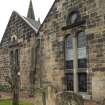
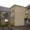
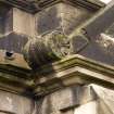
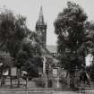
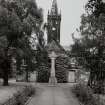
Motherwell, Windmillhill Street, South Dalziel Parish Church


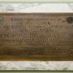
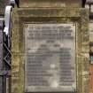
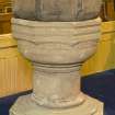
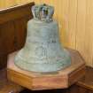
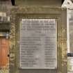
Church (18th Century), Font (Medieval), War Memorial (20th Century)
Site Name Motherwell, Windmillhill Street, South Dalziel Parish Church
Classification Church (18th Century), Font (Medieval), War Memorial (20th Century)
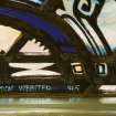
Alternative Name(s) War Memorial
Canmore ID 199993
Site Number NS75NE 64
NGR NS 75905 56263
Datum OSGB36 - NGR
Permalink http://canmore.org.uk/site/199993


- Council North Lanarkshire
- Parish Dalziel
- Former Region Strathclyde
- Former District Motherwell
- Former County Lanarkshire
NS75NE 64.00 75905 56263
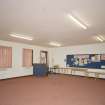
NS75NE 64.01 NS 75925 56275 Hall
NS75NE 64.02 NS 75933 56289 Warden's House
NMRS REFERENCE
N.M.R.S. Sketch of Free Church of Parish of Dalzell by David Ogilvy - text & photograph: missing at time of upgrade, 18/07/2003.
(Undated) information in NMRS.
Standing Building Recording (29 March 2007)
A Threatened Building Survey of South Dalziel Parish Church was carried out by RCAHMS in March 2007.

