Pricing Change
New pricing for orders of material from this site will come into place shortly. Charges for supply of digital images, digitisation on demand, prints and licensing will be altered.
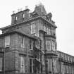
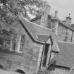
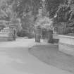
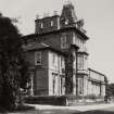
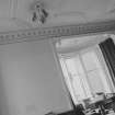
Dumbarton, Kirktonhill, Helenslee Road, Keil School
Pit(S) (Period Unassigned), School (20th Century), Villa (19th Century)
Site Name Dumbarton, Kirktonhill, Helenslee Road, Keil School
Classification Pit(S) (Period Unassigned), School (20th Century), Villa (19th Century)
Alternative Name(s) Helenslee House
Canmore ID 196929
Site Number NS37NE 97
NGR NS 38655 75067
Datum OSGB36 - NGR
Permalink http://canmore.org.uk/site/196929
- Council West Dunbartonshire
- Parish Cardross (West Dumbartonshire)
- Former Region Strathclyde
- Former District Dumbarton
- Former County Dunbartonshire
NS37NE 97 38655 75067
NS 387 750 An archaeological evaluation was undertaken in November 2006 at Keil School (NS37NE 97), Dumbarton, in advance of a housing development situated within the grounds of the former mansion school. The total area to be evaluated was 7ha. However, due to extensive mature tree cover that was to be retained during the development the net area available was only 4ha. Thirty trenches were excavated; representing an 8 % sample of the area available for trenching. Half of the trenches were on the wide expanse of the former playing fields at the S end of the grounds. Most of features uncovered during trial trenching were in the lower field by the Firth of Clyde; the majority of these features were field drains with the exception of two pits of unknown date. Both pits contained charcoal; one also contained fire-cracked stones. There was no evidence of human activity (other than recent quarrying) on or around the palaeocliff that runs through the lower part of the site.
Archive and report to be deposited in NMRS. Report lodged with WoSAS.
Sponsor: Manor Kingdom Group Ltd.
Magnar Dalland, 2006.
NS37NE 97.00 38655 75067
NS37NE 97.01 38818 75236 Lodge
NS37NE 97.02 38838 75290 Cottage
NS37NE 97.03 38800 75287 Technical Block
NS37NE 97.04 38723 75029 Statue of William Mackinnon
ARCHITECT: John Honeyman
NMRS Plans: Part set of proposals for alterations (Not executed), JT Rochead June 1854.
The Scotsman 21 April 1983 Keil School text and photographs
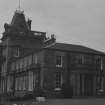
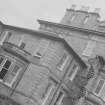
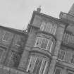
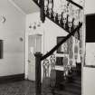
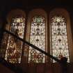
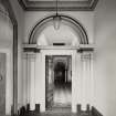
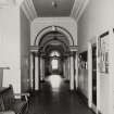
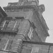
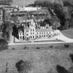
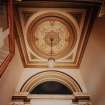
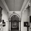
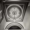
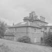
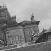
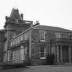
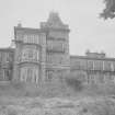
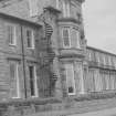
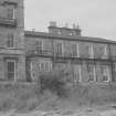
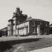
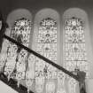
Mansion house, incorporating lower 2-storey symmetrically planned
earlier/mid 19th century house (by J T Rochead). Stugged ashlar coursers with polished dressings.
Built for Peter Denny. Used as a school since 1925. (Historic Scotland)
Constructed for shipbuilding baron, Peter Denny, the site was purchased by Keil School in 1925, transferring to Dumbarton from their original site in Southend, Argyll, in 1926 (FA Walker & F Sinclair)
Archaeological Evaluation (November 2006)
NS 387 750 An archaeological evaluation was undertaken in November 2006 at Keil School (NS37NE 97), Dumbarton, in advance of a housing development situated within the grounds of the former mansion school. The total area to be evaluated was 7ha. However, due to extensive mature tree cover that was to be retained during the development the net area available was only 4ha. Thirty trenches were excavated; representing an 8 % sample of the area available for trenching. Half of the trenches were on the wide expanse of the former playing fields at the S end of the grounds. Most of features uncovered during trial trenching were in the lower field by the Firth of Clyde; the majority of these features were field drains with the exception of two pits of unknown date. Both pits contained charcoal; one also contained fire-cracked stones. There was no evidence of human activity (other than recent quarrying) on or around the palaeocliff that runs through the lower part of the site.
Archive and report to be deposited in NMRS. Report lodged with WoSAS.
Sponsor: Manor Kingdom Group Ltd.
M Dalland 2006


