Loanhead Of Daviot
Enclosed Cremation Cemetery (Bronze Age)
Site Name Loanhead Of Daviot
Classification Enclosed Cremation Cemetery (Bronze Age)
Canmore ID 18828
Site Number NJ72NW 44
NGR NJ 7478 2884
Datum OSGB36 - NGR
Permalink http://canmore.org.uk/site/18828
- Council Aberdeenshire
- Parish Daviot
- Former Region Grampian
- Former District Gordon
- Former County Aberdeenshire
NJ72NW 44 7478 2884.
(NJ 7478 2884) Detail shown but not annotated.
OS 6" map, (1959)
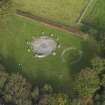
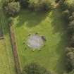
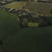
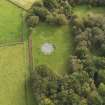
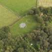
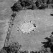
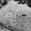
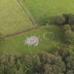
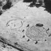
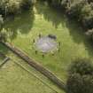
At a period subsequent to the erection of the Loanhead of Daviot Stone Circle (NJ72NW 1) but within the Bronze Age, an urnfield or cemetery was laid out on the south side of the circle, in contact with it. This cemetery, excavated by Kilbride-Jones (1936) in 1935, was circular in shape and was enclosed by a dyke laid in a shallow ditch; there were two entrances, west and east.
The primary burial, an adult male cremation, with a perforated sandstone pendant where the wrist had been, was found in a burnt area at the centre. In the rest of the cemetery, twenty burials were found. Twelve of these were in urns, all but one being placed in pits and inverted over the deposit. One urn was of an Iron Age type. The remains of thirty one individuals were identified. The only relic associated with an urn was a bone toggle.
W D Simpson 1943; H E Kilbride-Jones 1936.
An enclosed cremation cemetery as described and planned.
Surveyed at 1/2500.
Visited by OS (RL) 11 March 1969.
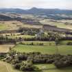
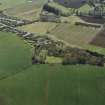
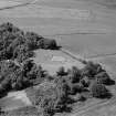
This monument is situated on a ridge at an altitude of 155m OD.
NMRS, MS/712/69.


