
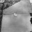
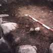
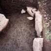
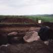
Shanzie


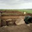
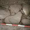
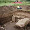
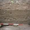
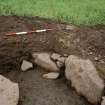
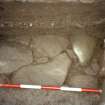
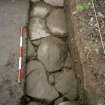
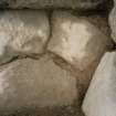
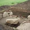
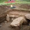
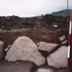
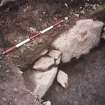
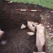
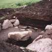
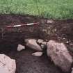
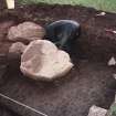
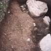
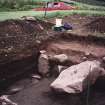
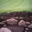
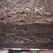
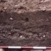
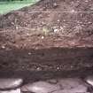
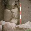
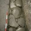
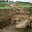
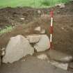
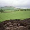
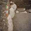
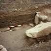
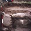
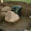
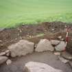
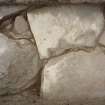
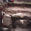
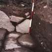
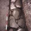
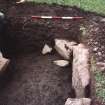
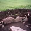
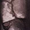
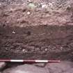
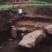
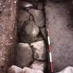
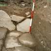
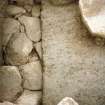
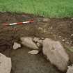
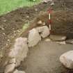
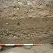
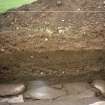
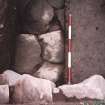
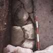
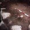
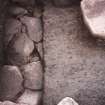
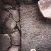
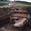
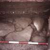
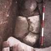
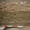
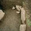
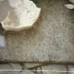
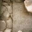
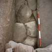
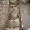
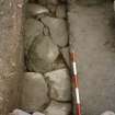
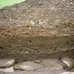
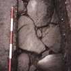
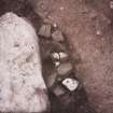
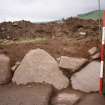
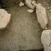
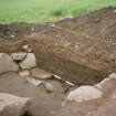
Souterrain (Prehistoric)
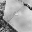
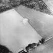
Site Name Shanzie
Classification Souterrain (Prehistoric)
Canmore ID 183018
Site Number NO25SE 55
NGR NO 27926 50460
Datum OSGB36 - NGR
Permalink http://canmore.org.uk/site/183018


First 100 images shown. See the Collections panel (below) for a link to all digital images.
- Council Perth And Kinross
- Parish Alyth
- Former Region Tayside
- Former District Perth And Kinross
- Former County Perthshire

