
Pricing Change
New pricing for orders of material from this site will come into place shortly. Charges for supply of digital images, digitisation on demand, prints and licensing will be altered.
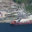
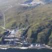
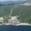
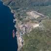
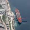
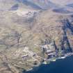
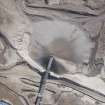
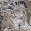
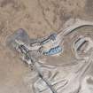
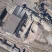
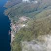
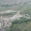
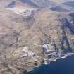
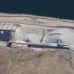
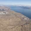
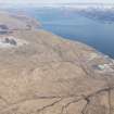
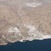
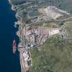
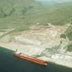
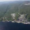
Glensanda Quarry


Quarry (Period Unassigned)
Site Name Glensanda Quarry
Classification Quarry (Period Unassigned)
Canmore ID 178165
Site Number NM84NW 8
NGR NM 8275 4728
NGR Description Centred on NM 8275 4728
Datum OSGB36 - NGR
Permalink http://canmore.org.uk/site/178165


- Council Highland
- Parish Ardgour
- Former Region Highland
- Former District Lochaber
- Former County Argyll
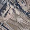
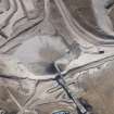
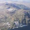
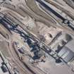
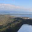
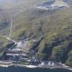
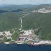
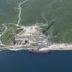
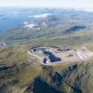
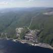
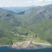
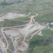
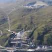
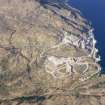
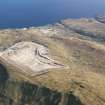
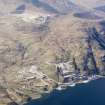
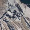
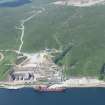
Glensanda Inaccessible, prettily wooded glen whose population declined between 1841 and 1851 from 70 to 8. Owned since 1982 by Foster Yeoman Ltd, its mouth has been transformed by five gargantuan white teeth - the stockpile bins of Europe's biggest granite aggregate quarry.
Taken from "Western Seaboard: An Illustrated Architectural Guide", by Mary Miers, 2008. Published by the Rutland Press http://www.rias.org.uk

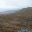
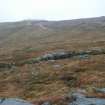
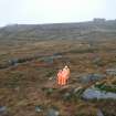
Archaeological Evaluation (11 July 2011 - 20 October 2011)
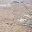
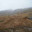
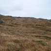
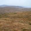
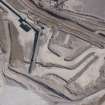
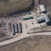
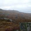
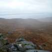
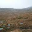
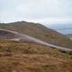
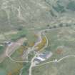
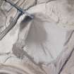
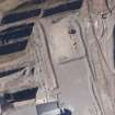
Headland Archaeology Ltd carried out an archaeological walkover of an area of some 138 hectares around Glensanda Quarry. The quarry is situated at 400 to 600 m above the north-western shore of Loch
Linnie some 20km to the north of Oban. The area aff ected by the extension comprised mainly steep and rocky terrain covered in tussocky grass. The area was very exposed with little shelter from the elements.
No features of archaeological interest were identifi ed.

