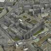
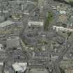
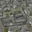
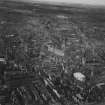
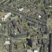
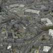
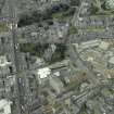
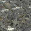
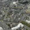
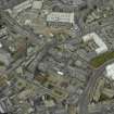
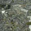
Aberdeen, Long Acre, Old St Andrew's Episcopal Church
Chapel (19th Century) - (19th Century)
Site Name Aberdeen, Long Acre, Old St Andrew's Episcopal Church
Classification Chapel (19th Century) - (19th Century)
Alternative Name(s) Wesleyan Chapel
Canmore ID 176481
Site Number NJ90NW 1497
NGR NJ 94293 06473
Datum OSGB36 - NGR
Permalink http://canmore.org.uk/site/176481
- Council Aberdeen, City Of
- Parish Aberdeen
- Former Region Grampian
- Former District City Of Aberdeen
- Former County Aberdeenshire
Note (11 February 2025)
A chapel is depicted on the 1st edition of the OS 6-inch map (1869) - Aberdeenshire LXXV.11 (Old Machar, Greyfriars, St Clements, East, West, North & South). The chapel was demolished and is not visible on the 2nd edition of the OS 25-inch map (1902) - Aberdeenshire LXXV.11.
Information from HES (D Watson) 11 February 2025


