
Following the launch of trove.scot in February 2025 we are now planning the retiral of some of our webservices. Canmore will be switched off on 24th June 2025. Information about the closure can be found on the HES website: Retiral of HES web services | Historic Environment Scotland
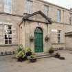
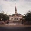
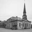
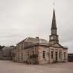
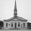
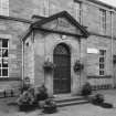
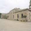
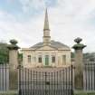
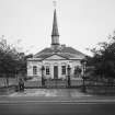
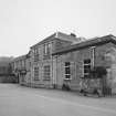
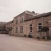
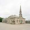
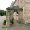
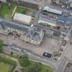
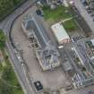
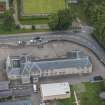
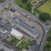
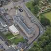
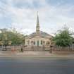
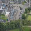
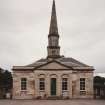
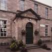
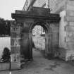
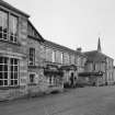
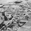
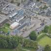
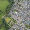
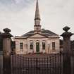
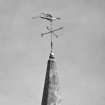
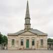
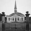
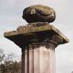
Forres, High Street, Anderson's Primary School


School (19th Century)
Site Name Forres, High Street, Anderson's Primary School
Classification School (19th Century)
Alternative Name(s) Anderson's Institution; Forres Academy; South Street
Canmore ID 172833
Site Number NJ05NW 200
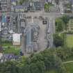
NGR NJ 03920 59036
Datum OSGB36 - NGR
Permalink http://canmore.org.uk/site/172833


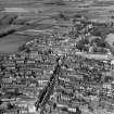
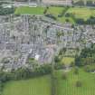
- Council Moray
- Parish Forres
- Former Region Grampian
- Former District Moray
- Former County Morayshire
NMRS NOTES:
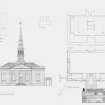
Architect: W. Robertson 1823
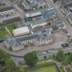
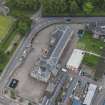
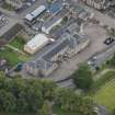
Watching Brief (28 June 2021 - 22 July 2021)
Stuart Farrell
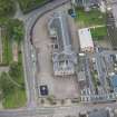
NJ 03915 59057 A watching brief was undertaken in June and July 2021 for the installation of a geocell and associated groundworks in the playground of Andersons Primary School, Forres (Canmore ID: 172833). Work revealed the find of two small pits (one, dated by C14 was of late medieval date) no other features or deposits of interest were revealed area being heavily disturbed by quarrying and services. Archive: NRHE (intended) and Moray HER
Funder: Morrison Construction
(Source: DES Volume 23)

