Bell Knowe
Cairn (Period Unassigned)
Site Name Bell Knowe
Classification Cairn (Period Unassigned)
Canmore ID 17195
Site Number NJ42NE 31
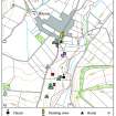
NGR NJ 49791 26550
Datum OSGB36 - NGR
Permalink http://canmore.org.uk/site/17195
- Council Aberdeenshire
- Parish Rhynie
- Former Region Grampian
- Former District Gordon
- Former County Aberdeenshire
NJ42NE 31 49791 26550
Location formerly cited as NJ 4978 2655.
(NJ 4978 2655) Bell Knowe (NAT)
OS 6" map, Aberdeenshire, 2nd ed., (1902).
Bell Knowe
Cairn [NAT] (at NJ 49791 26550)
OS (GIS) AIB, May 2007.
Bell Knowe, a small artificial knoll, so called because the church bell (dated 1620) was hung in a wooden frame on it before 1823 so that it might be better heard.
Name Book 1866; F C Eeles and R W M Clauston 1960.
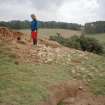
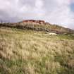
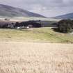
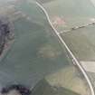
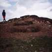
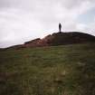
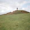
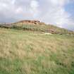
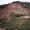
Bell Knowe, a prominently situated mound of earth and stone, now turf-covered, measuring 17.0m in diameter and c.2.0m high. The name and tradition are still known locally, but the size and regular shape suggests a burial cairn which later held a frame for a bell. Similar to Gallow Hill (NJ42NE 24).
Re-surveyed at 1/2500.
Visited by OS (NKB) 3 October 1967.
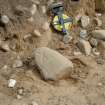
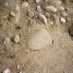
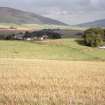
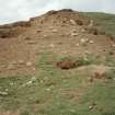
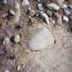
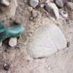
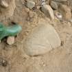
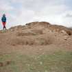
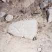
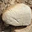
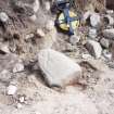
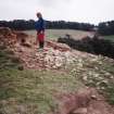
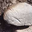
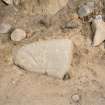
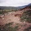
This cairn lies on the crest of an E-facing slope in an improved pasture field, overlooking the valley of the Water of Bogie. It measures 19m in diameter and 1.7m in height, and it is composed of rounded boulders and pebbles set in a matrix of sandy soil. The cairn is heavily eroded and has been extensively damaged by the burrowing of rabbits on all but the N arc. A roughly mitre-shaped block of granite, 0.37m in length by 0.29m in breadth and 0.15m in thickness, noted in an erosion scar on the NW side of the mound, bears an number of incised lines, but no coherent design may be discerned.
Visited by RCAHMS (IF, ARG), 20 September 1996.


