
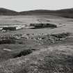
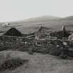
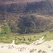
Harris, Scarastabeg, Croft


Croft (Period Unassigned)
Site Name Harris, Scarastabeg, Croft
Classification Croft (Period Unassigned)
Canmore ID 171133
Site Number NG09SW 22
NGR NG 0042 9274
Datum OSGB36 - NGR
Permalink http://canmore.org.uk/site/171133


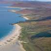
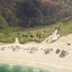
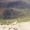
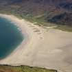
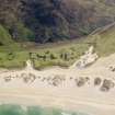
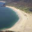
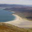
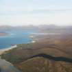
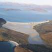
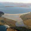
- Council Western Isles
- Parish Harris
- Former Region Western Isles Islands Area
- Former District Western Isles
- Former County Inverness-shire

