
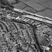
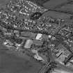
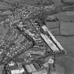
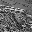
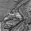
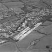
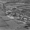
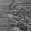
Newmilns, Windyhill Road, Railway Overbridge


Railway Bridge (19th Century)
Site Name Newmilns, Windyhill Road, Railway Overbridge
Classification Railway Bridge (19th Century)
Canmore ID 162439
Site Number NS53NW 74
NGR NS 52990 36920
Datum OSGB36 - NGR
Permalink http://canmore.org.uk/site/162439


- Council East Ayrshire
- Parish Galston
- Former Region Strathclyde
- Former District Kilmarnock And Loudoun
- Former County Ayrshire
NS53NW 74 52990 36920
NS53NW 112 53283 37024 Railway Station
NS53NW 124 53930 37276 Railway Viaduct

