Pricing Change
New pricing for orders of material from this site will come into place shortly. Charges for supply of digital images, digitisation on demand, prints and licensing will be altered.
Burghead, Harbour, Granaries
Warehouse(S) (Period Unassigned)
Site Name Burghead, Harbour, Granaries
Classification Warehouse(S) (Period Unassigned)
Alternative Name(s) Burghead Harbour, North Quay; Burghead Boat Centre; 90, 92, 94 Granary Street; Torfness House
Canmore ID 16200
Site Number NJ16NW 59
NGR NJ 10831 69082
NGR Description NJ 10831 69082 to NJ 10990 69000
Datum OSGB36 - NGR
Permalink http://canmore.org.uk/site/16200
- Council Moray
- Parish Duffus
- Former Region Grampian
- Former District Moray
- Former County Morayshire
NJ16NW 59.00 1082 6908 to 1099 6900
NJ16NW 59.01 NJ 10846 69076 92 Granary Street
NJ16NW 59.02 NJ 10836 69086 94 Granary Street
NJ16NW 59.03 NJ 10866 69066 90 Granary Street
NJ16NW 59.04 NJ 10882 69057 1-8 North Quay, Granary House
For adjacent harbour (NJ 108 690), see NJ16NW 58.
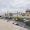
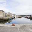
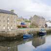
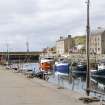
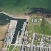
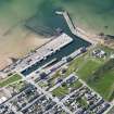
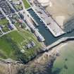
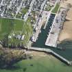
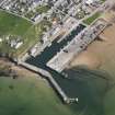
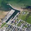
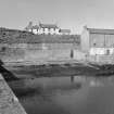
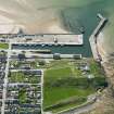
(Location cited as NJ 108 690). Burghead, granaries. Built c. 1810. A group of buildings ranged parallel to the harbour (NJ16NW 58), of which the largest are one 4-storey, 5-bay and two 3-storey, 5-bay blocks. One of the latter has two elliptical-arched cart entries and has been converted to a 'boat centre'.
J R Hume 1977.
Publication Account (2007)
Torfness House
Historic Engineering work no. HEW 2531
This building, overlooking Burghead Harbour and dating from the early-19th century, was originally a granary warehouse. It has four floors carried on oak beams trussed with wrought-iron spanning 40 ft between walls, a rare survivor of such beams. There are three beams per floor supported on pad stones that cantilever from 3 ft thick masonry walls. Later the building served as a ship chandlery and is now a private dwelling house.
R Paxton and J Shipway, 2007.
Reproduced from 'Civil Engineering heritage: Scotland - Highlands and Islands' with kind permission from Thomas Telford Publishers.


