Scheduled Maintenance
Please be advised that this website will undergo scheduled maintenance on the following dates: •
Every Thursday from 17th October until 7th November from 11:00 to 15:00 •
Tuesday, 22nd October from 11:00 to 15:00
During these times, some services may be temporarily unavailable. We apologise for any inconvenience this may cause.
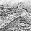
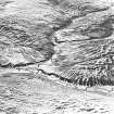
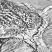
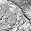
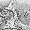
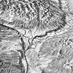
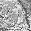
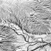
Noran Water, Glen Ogil
Rig And Furrow (Medieval), Township (Period Unassigned)
Site Name Noran Water, Glen Ogil
Classification Rig And Furrow (Medieval), Township (Period Unassigned)
Alternative Name(s) Burnroot; Noran Burn; Toardy Burn
Canmore ID 157049
Site Number NO46NW 13
NGR NO 4482 6610
NGR Description Centred NO 4482 6610
Datum OSGB36 - NGR
Permalink http://canmore.org.uk/site/157049
- Council Angus
- Parish Tannadice
- Former Region Tayside
- Former District Angus
- Former County Angus
NO46NW 13 centred 4482 6610
A township annotated 'Ruins', comprising five unroofed building and one enclosure is depicted on the 1st edition of the OS 6-inch map (Forfarshire 1865, sheet xviii). Five unroofed buildings and two enclosures are shown on the current edition of the OS 1:10000 map (1972).
Information from RCAHMS (AKK) 30 June 1999.
(Name cited as Noran Water and location as NO 4490 6615). The incomplete remains of at least six houses, a kiln and two enclosures lie (at an altitude of 270m OD) on the sides of the Noran Burn just E of where it joins the Toardy Burn.
NMRS, MS/712/91.


