
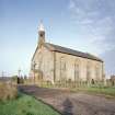
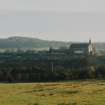
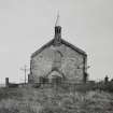
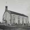
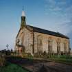
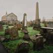
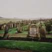
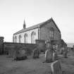
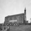
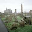
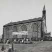
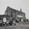
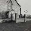
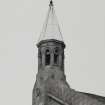
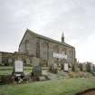
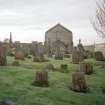
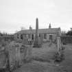
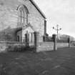
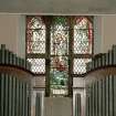
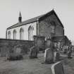
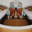
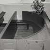
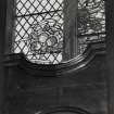
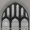
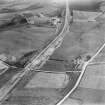
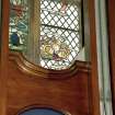
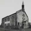
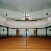
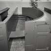
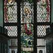
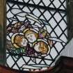
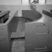
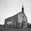
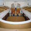
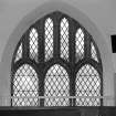
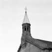
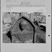
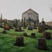
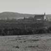
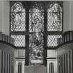
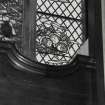
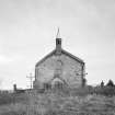
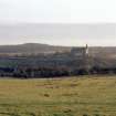
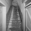
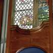
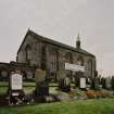
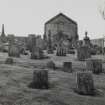
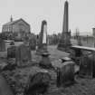
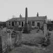
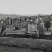
Salsburgh, Hirst Road, Kirk Of Shotts


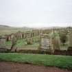
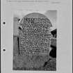
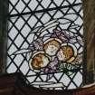
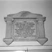
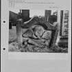
Burial Ground (Period Unassigned), Church (19th Century), War Memorial (20th Century)
Site Name Salsburgh, Hirst Road, Kirk Of Shotts
Classification Burial Ground (Period Unassigned), Church (19th Century), War Memorial (20th Century)
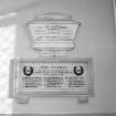
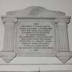
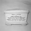
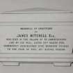
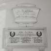
Alternative Name(s) Kirk Of Shotts And Graveyard; Kirk O' Shotts; War Memorial Plaque
Canmore ID 147605
Site Number NS86SW 65
NGR NS 84276 62950
Datum OSGB36 - NGR
Permalink http://canmore.org.uk/site/147605


- Council North Lanarkshire
- Parish Shotts (Monklands)
- Former Region Strathclyde
- Former District Monklands
- Former County Lanarkshire
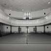
ARCHITECT: John Brash 1820 (Modification of design by Gillespie Graham).

