
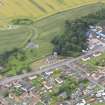
Following the launch of trove.scot in February 2025 we are now planning the retiral of some of our webservices. Canmore will be switched off on 24th June 2025. Information about the closure can be found on the HES website: Retiral of HES web services | Historic Environment Scotland
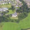
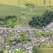
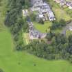
Airth, General


Town (Period Unassigned)
Site Name Airth, General
Classification Town (Period Unassigned)
Canmore ID 145961
Site Number NS88NE 91
NGR NS 89900 87596
Datum OSGB36 - NGR
Permalink http://canmore.org.uk/site/145961


- Council Falkirk
- Parish Airth
- Former Region Central
- Former District Falkirk
- Former County Stirlingshire
NS88NE 91 89900 87596
NMRS REFERENCE:
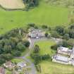
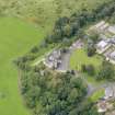
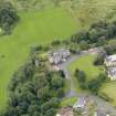
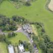
Airth, Old House
NMRS Prints and Drawings
PLANS: Dick Peddie & MacKay, Edinburgh - survey
Attic 2, Bin22, Bag 1. Tyrewicz, 1942
N.T.S. Lists No. 2, 3, 4, 5, 6, 7, 17, 26 (no street name given) which were demolished in the 1950's. Information from Demolitions catalogue held in RCAHMS Library.

