Following the launch of trove.scot in February 2025 we are now planning the retiral of some of our webservices. Canmore will be switched off on 24th June 2025. Information about the closure can be found on the HES website: Retiral of HES web services | Historic Environment Scotland
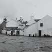
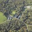
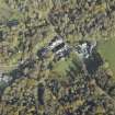
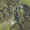
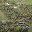
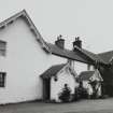
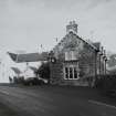
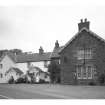
Islay, Bridgend, Bridgend Hotel
Hotel (19th Century)
Site Name Islay, Bridgend, Bridgend Hotel
Classification Hotel (19th Century)
Alternative Name(s) Bridgend Hotel And Steading
Canmore ID 143499
Site Number NR36SW 56
NGR NR 33678 62338
Datum OSGB36 - NGR
Permalink http://canmore.org.uk/site/143499
- Council Argyll And Bute
- Parish Killarow And Kilmeny
- Former Region Strathclyde
- Former District Argyll And Bute
- Former County Argyll
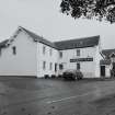
NR36SW 56.00 NR 33673 62338 Hotel
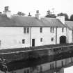
NR36SW 56.01 NR 33704 62356 Eastern range
NR36SW 56.02 NR 33681 62387 Northern range
Bridgend Hotel [NAT]
OS 1:2500 map, 1981.
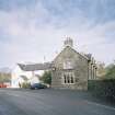
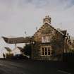
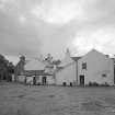
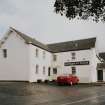
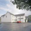
This group of buildings presents the impression of having been a farmhouse and steading of considerable pretensions until converted (at an unknown date) into a hotel and outbuildings.
Information from RCAHMS (RJCM), 5 January 2001.


