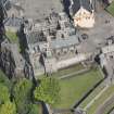
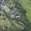
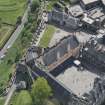
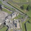
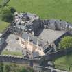
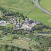
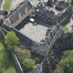
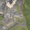
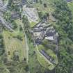
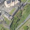
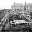
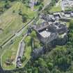
Stirling Castle, Grand Battery, Kitchen Range
Kitchen (Period Unassigned)
Site Name Stirling Castle, Grand Battery, Kitchen Range
Classification Kitchen (Period Unassigned)
Canmore ID 142670
Site Number NS79SE 6.09
NGR NS 79049 94068
Datum OSGB36 - NGR
Permalink http://canmore.org.uk/site/142670
- Council Stirling
- Parish Stirling
- Former Region Central
- Former District Stirling
- Former County Stirlingshire
NS79SE 6.09 79049 94068
Excavation (2 March 1993 - 7 May 1993)
NS 790 940 A series of small-scale excavations and watching briefs were completed between March and May 1993 as part of the major ongoing programme of rebuilding and upgrading at the Castle. The results of this most recent fieldwork can be summarised in terms of the four areas of the Castle effected.
1. The Overport Battery Casemates and Trance (part of the new restaurant development)
During the removal of 19th and 20th-century levelling deposits. A remnant of a defensive line, predating the Queen Anne works, was discovered in Casemate 1
2. Guard Room Square
Beneath elements of the southern Queen Anne defences, slight evidence of the earlier southern access route on to the site was traced in the form of worn and weathered bedrock.
3. The Lower Square
During the excavation of a series of pipe and service trenches, water conduits - both for drainage and water supply, were found, the earliest of which dated to the Queen Anne rebuilding programme. Also, some crude stonework with associated midden deposits, were discovered towards the SE of the Great Hall. These features are provisionally dated to the late 15th/early 16th century and represent levelling up, whether casual or deliberate, over the steeply shelving bedrock to the E of the Great Hall, down to the
North Gate.
4. The Queen Anne Battery Casemates
The interiors of four of these chambers were cleared of 19th and 20th-century infill, down to primary (early 18th century) occupation levels. Evidence of wooden floors and large squared hearths in each was found, all of which were later obscured by the raising of the floors throughout the range towards the middle of the 19th century.
G Ewart
Sponsor: Historic Scotland
Kirkdale Archaeology


