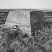
Burifa Hill, Type 700 And 7000 Gee And Loran Station
Radar Station (20th Century)
Site Name Burifa Hill, Type 700 And 7000 Gee And Loran Station
Classification Radar Station (20th Century)
Canmore ID 141543
Site Number ND27NW 8
NGR ND 20102 75446
NGR Description Centred ND 20102 75446
Datum OSGB36 - NGR
Permalink http://canmore.org.uk/site/141543
- Council Highland
- Parish Dunnet
- Former Region Highland
- Former District Caithness
- Former County Caithness
ND27NW 8.00 centred 20102 75446
Extends onto map sheet ND17NE.
ND27NW 8.01 Centred ND 2035 7537 Military Camp
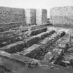
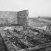
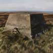
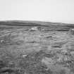
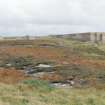
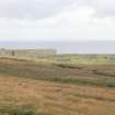
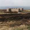
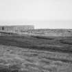
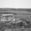
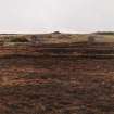
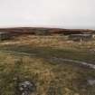
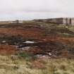
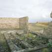
Situated on the SW slopes of Burifa Hill is a WWII radio station. Constructed as a ground station for the Gee and LORAN systems, it was equipped with types 700 and 7000 sets. The transmitter hut survives along with other buildings, some of which are depicted as unroofed on the current edition of the chart copy OS 1:10000 scale map (1975).
Information from RCAHMS (DE) and Mr I Brown, February 1999.
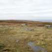
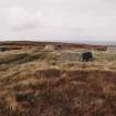
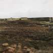
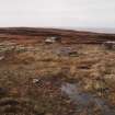
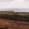
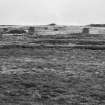
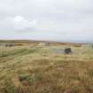
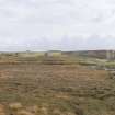
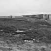
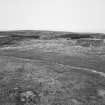
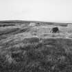
This 'Gee' station is situated on the summit of Burifa Hill. There are four main elements to the (upper) site all of which involve receiving and transmitting blocks. The accommodation camp (ND27NW 8.01) was situated at the foot of the hill adjacent to the public road. Whilst many of the buildings have been demolished enough remains of the site to give an impression of what its extant was.
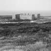
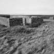
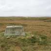
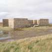
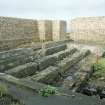
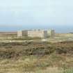
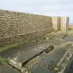
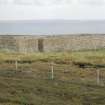
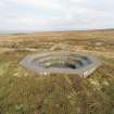
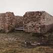
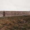
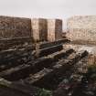
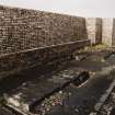
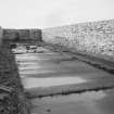
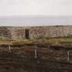
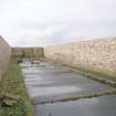
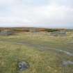
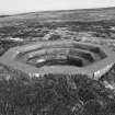
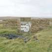
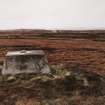
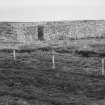
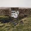
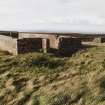
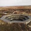
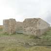
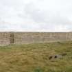
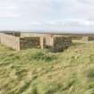
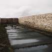
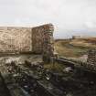
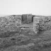
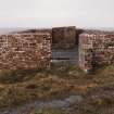
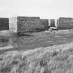
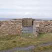
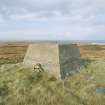
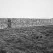
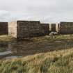
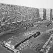
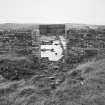
The surviving buildings are all constructed of brick and concrete and are located as follows; two receiver blocks (Rx) at ND 1989 7566 and ND 2011 7552; two transmitting blocks (Tx) at ND 2013 7582 and ND 2031 7564. These brick built structures stand to a height of approximately 3m and within the enclosing walls is a concrete platform on which a Nissen hut was positioned. The Nissen hut has now been removed but a few of the fixing points for it can still be seen. The masts, the bases still surviving, adjacent to the Tx and Rx blocks, as four square concrete plinths with the slots for wooden masts. Anti-aircraft protection was provided by specially prepared light bofors or machine gun positions near to each of the Tx or Rx blocks. These were hexagonal in plan and stepped down within the outer wall. Few other structures survive above ground, the exception being the brick and concrete stand by set house (power house) at ND 1985 7556 and the reservoir and filter plant at ND 2017 7554. The footings and collapsed brick remains of the main power house survive at ND 2005 7548 amongst the concrete platforms for several other buildings. In an area centred on ND 2000 7547 are many hut bases which formed a group of structures which had housed several accommodation huts, incinerator, boiler house and a fuel compound.
A derequisitioning plan of the site is known (Air Ministry WA15/110/48, dated 22 March 1952) and this identifies nearly all of the structures at this site. The plan has been prepared from works area drawing WA 15/1/45 and is a reproduction of AM drawing No. 1775/45.
Visited by RCAHMS (DE, GS, JG), August 2000.
This site covers a large area on Burifa Hill and comprises mainly of hut bases, four main buildings with blast walls and four groups of mast bases extant. The GEE Station was a radar navigation system. The equipment was housed in Nissen huts enclosed in the extant blast walls. With each block is a light machine gun position.
J Guy 2000; NMRS MS 810/10, Vol.1, 22, Vol.3, 11-13.
The site is visible on RAF vertical air phtographs (CPE/Scot/UK185, 2341-2342, flown 9 October 1946), The full extent of the site is shown on the photographs including masts, huts, electricity generator buildings and the Nissen hutted camp at the foot of the hill.
Information from RCAHMS (DE), October 2004.


