
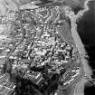
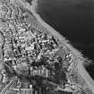
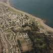
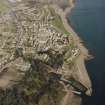
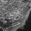
Dysart, Cross Street, Slab Block


Housing Estate (Modern)
Site Name Dysart, Cross Street, Slab Block
Classification Housing Estate (Modern)
Canmore ID 130168
Site Number NT39SW 120
NGR NT 3045 9306
Datum OSGB36 - NGR
Permalink http://canmore.org.uk/site/130168


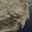
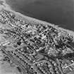
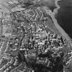
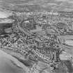
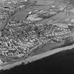
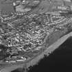
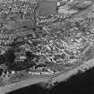
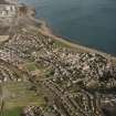
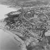
- Council Fife
- Parish Kirkcaldy And Dysart
- Former Region Fife
- Former District Kirkcaldy
- Former County Fife
ARCHITECTS: Wheeler and Sprosan
Phase I, II and III: 1958 - 1977

