Pricing Change
New pricing for orders of material from this site will come into place shortly. Charges for supply of digital images, digitisation on demand, prints and licensing will be altered.
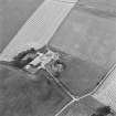
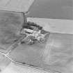
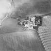
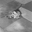
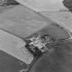
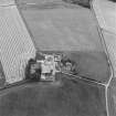
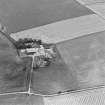
Blervie Castle
Farmhouse (Period Unassigned), Farmstead (Period Unassigned)
Site Name Blervie Castle
Classification Farmhouse (Period Unassigned), Farmstead (Period Unassigned)
Canmore ID 129081
Site Number NJ05NE 28
NGR NJ 0712 5718
Datum OSGB36 - NGR
Permalink http://canmore.org.uk/site/129081
- Council Moray
- Parish Rafford
- Former Region Grampian
- Former District Moray
- Former County Morayshire
Watching Brief (August 2021)
NJ 07000 57160 (centred) A metal-detecting survey was undertaken adjacent to Blervie Castle Farm, Rafford, in August 2021, prior to the construction of a new house next to the remains of Blervie Castle (SM 5625; Canmore ID: 129081).
The metal-detecting survey identified several corroded iron objects, probably originating from relatively recent farm machinery, none of which was retained. No further archaeological work could be undertaken in relation to the current development, however, there is still potential for buried archaeological remains to be present within the area.
Archive: NRHE (intended) Funder: Excel Scotland
Lindsey Stirling – AOC Archaeology Group
(Source: DES Vol 22)


