Pricing Change
New pricing for orders of material from this site will come into place shortly. Charges for supply of digital images, digitisation on demand, prints and licensing will be altered.
Upcoming Maintenance
Please be advised that this website will undergo scheduled maintenance on the following dates:
Thursday, 30 January: 11:00 AM - 3:00 PM
During these times, some functionality such as image purchasing may be temporarily unavailable. We apologise for any inconvenience this may cause.
Edzell Airfield, Accommodation And Administration Area
Barracks (20th Century), Chapel (20th Century), Office(S) (20th Century)
Site Name Edzell Airfield, Accommodation And Administration Area
Classification Barracks (20th Century), Chapel (20th Century), Office(S) (20th Century)
Alternative Name(s) Raf Edzell; Comsecgru Two; United States Naval Security Group Activity Edzell
Canmore ID 121466
Site Number NO66NW 75.05
NGR NO 6235 6918
NGR Description Centred NO 6235 6918
Datum OSGB36 - NGR
Permalink http://canmore.org.uk/site/121466
- Council Aberdeenshire
- Parish Fettercairn
- Former Region Grampian
- Former District Kincardine And Deeside
- Former County Kincardineshire
NO66NW 75.05 centred 6235 6918
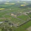
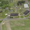
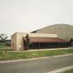
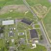
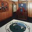
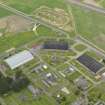
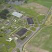
The buildings of the administration and accommodation area indicate occupation by about 200 or 300 personnel (a high proportion of them being married) with ample communal facilities. New 'Barracks' (Buildings 333 and 393) or Bachelor Enlisted Quarters (BEQ's) have been built, with an associated dining hall or 'Galley' (Building 392) to the N of the E hangar (centred around NO 624 694); interior inspection showed these to be based around carpeted, 3-berth cabins with en suite facilities, and of a significantly higher standard than would be expected in British service. These buildings probably replace the extended building of 'spine-and-branches' form that is depicted on the OS 1:2500 map of 1974 between NO 6224 6920 and NO 6236 6925, but has evidently been since demolished.
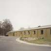
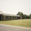
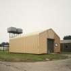
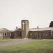
Most of the administration, communal, support and stores buildings, including the church, have been converted (sometimes radically) from standard RAF accommodation or utility buildings. The apparent absence of a wardroom or Bachelor Officers' Quarters is noteworthy.
Visited by RCAHMS (RJCM), 13 August 1997.
NMRS, DC35998.


