
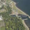
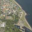
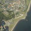
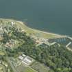
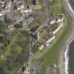
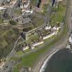
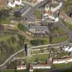
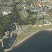
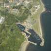
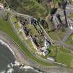
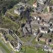
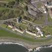
Dysart, Panhall, Shore Road, St Serf's Church, Churchyard


Burial Ground (16th Century), Churchyard (16th Century)
Site Name Dysart, Panhall, Shore Road, St Serf's Church, Churchyard
Classification Burial Ground (16th Century), Churchyard (16th Century)
Canmore ID 118105
Site Number NT39SW 2.01
NGR NT 30360 92946
Datum OSGB36 - NGR
Permalink http://canmore.org.uk/site/118105


- Council Fife
- Parish Kirkcaldy And Dysart
- Former Region Fife
- Former District Kirkcaldy
- Former County Fife

