
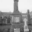
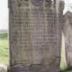
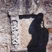
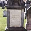
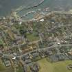
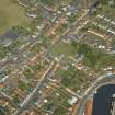
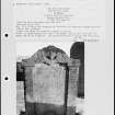
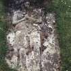
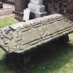
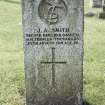
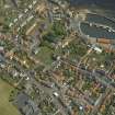
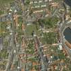
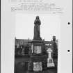
Pittenweem, High Street, Parish Church And Tolbooth Steeple, Churchyard


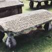
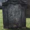
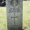
Burial Ground (Medieval)
Site Name Pittenweem, High Street, Parish Church And Tolbooth Steeple, Churchyard
Classification Burial Ground (Medieval)
Canmore ID 117683
Site Number NO50SW 5.04
NGR NO 54930 02618
NGR Description Centred NO 54930 02618
Datum OSGB36 - NGR
Permalink http://canmore.org.uk/site/117683


- Council Fife
- Parish Pittenweem
- Former Region Fife
- Former District North East Fife
- Former County Fife
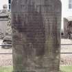
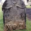
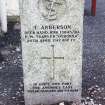
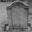
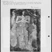
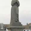
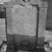
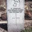
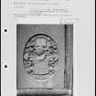
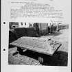
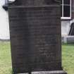
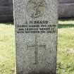
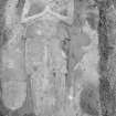
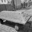
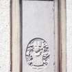
Photographic Survey (1986)
Recording of gravestones in Pittenweem Churchyard by Mrs Betty Willsher in 1986.

