
Following the launch of trove.scot in February 2025 we are now planning the retiral of some of our webservices. Canmore will be switched off on 24th June 2025. Information about the closure can be found on the HES website: Retiral of HES web services | Historic Environment Scotland
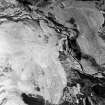
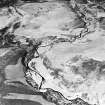
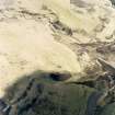
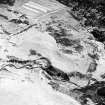
Achadh A' Chatha


Township (Period Unassigned)
Site Name Achadh A' Chatha
Classification Township (Period Unassigned)
Canmore ID 115697
Site Number NH70SE 29
NGR NH 782 037
NGR Description centred on NH 782 037
Datum OSGB36 - NGR
Permalink http://canmore.org.uk/site/115697


- Council Highland
- Parish Alvie
- Former Region Highland
- Former District Badenoch And Strathspey
- Former County Inverness-shire
Note
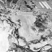
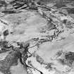
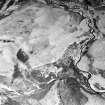
A small township comprising four unroofed buildings and an enclosure is depicted on the 1st edition of the OS 6-inch map (Inverness-shire 1872, sheet lxxxvii). Six unroofed buildings and an enclosure are shown on the current edition of the OS 1:10000 map (1994).
Information from RCAHMS (SAH) 17 July 1996

