 |
On-line Digital Images |
SC 981489 |
RCAHMS Aerial Photography |
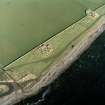
Oblique aerial view of the remains of the brochs, buildings, possible building, pillbox and slipway, Keiss, taken from the S. |
14/3/2002 |
Item Level |
|
 |
On-line Digital Images |
SC 1693751 |
RCAHMS Aerial Photography |
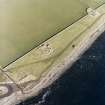
Oblique aerial view of the remains of the brochs, buildings, possible building, pillbox and slipway, taken from the S. |
14/3/2002 |
Item Level |
|
 |
On-line Digital Images |
SC 1693752 |
RCAHMS Aerial Photography |
Oblique aerial view of the remains of the broch, buildings, pillbox and slipway, taken from the SE. |
14/3/2002 |
Item Level |
|
 |
On-line Digital Images |
SC 1693753 |
RCAHMS Aerial Photography |
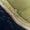
Oblique aerial view centred on the remains of the broch with the possible building and pillbox adjacent, taken from the ENE. |
14/3/2002 |
Item Level |
|
 |
On-line Digital Images |
SC 1693767 |
RCAHMS Aerial Photography |
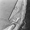
Oblique aerial view of the remains of the broch, buildings, pillbox and slipway, taken from the SSW. |
14/3/2002 |
Item Level |
|
 |
On-line Digital Images |
SC 1693768 |
RCAHMS Aerial Photography |
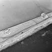
Oblique aerial view of the remains of the brochs, possible building and pillbox, taken from the SSE. |
14/3/2002 |
Item Level |
|
 |
On-line Digital Images |
SC 1693769 |
RCAHMS Aerial Photography |
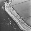
Oblique aerial view of the remains of the brochs, buildings, possible building, pillbox and slipway, taken from the E. |
14/3/2002 |
Item Level |
|
 |
On-line Digital Images |
SC 1926335 |
Caithness Coastal Survey |
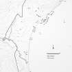
General survey area plan. |
1982 |
Item Level |
|
 |
On-line Digital Images |
SC 1926339 |
Caithness Coastal Survey |
Wick (North) Map |
1982 |
Item Level |
|
 |
On-line Digital Images |
SC 1926340 |
Caithness Coastal Survey |
Wick (North) Map |
1982 |
Item Level |
|


