Pricing Change
New pricing for orders of material from this site will come into place shortly. Charges for supply of digital images, digitisation on demand, prints and licensing will be altered.
Barry Links, Buddon Camp, Military Training Area
Military Camp (20th Century)
Site Name Barry Links, Buddon Camp, Military Training Area
Classification Military Camp (20th Century)
Alternative Name(s) Buddon Links; Barry Buddon; Buddon Ness
Canmore ID 113895
Site Number NO53SW 56.02
NGR NO 5210 3270
NGR Description Centred NO 5210 3270
Datum OSGB36 - NGR
Permalink http://canmore.org.uk/site/113895
- Council Angus
- Parish Barry
- Former Region Tayside
- Former District Angus
- Former County Angus
NO53SW 56.02 centred on 5210 3270
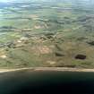
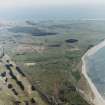
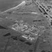
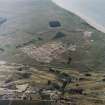
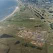
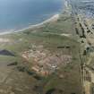
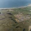
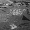
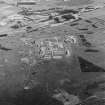
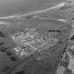
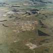
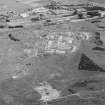
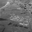
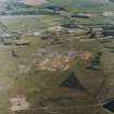
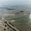
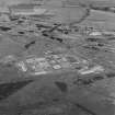
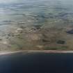
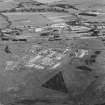
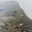
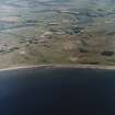
Buddon Camp has been considerably enlarged and modernised in the recent past. A Camp and Training Area HQ has been built in a separate, fenced, compound in the NE corner of the site; a new complex, capable of housing a battalion-sized unit, occupies the majority of the area. At the time of the RCAHMS photography, on 26 June 2003, temporary Portakabin accommodation units were being removed.
On the northern side of the camp is a wire-fenced vehicle refuelling area, which can be accessed separately from the camp complex. On the N side of the road is a substantial assault course, also of recent construction.
A number of older buildings remain on the western side of the camp, outside the perimeter fence. A small isolated building between the camp and the ranges is a probable NBC respirator testing chamber.
Information from RCAHMS (GDT) 21 May 2004


