Scheduled Maintenance
Please be advised that this website will undergo scheduled maintenance on the following dates: •
Tuesday 3rd December 11:00-15:00
During these times, some services may be temporarily unavailable. We apologise for any inconvenience this may cause.
Upper Glendevon Reservoir
Enclosure(S) (Medieval) - (Post Medieval), Farmstead (Post Medieval), Field System (Medieval) - (Post Medieval), Head Dyke (Post Medieval)(Possible), Quarry (Post Medieval), Sheep Shelter (Post Medieval), Track (Medieval) - (Post Medieval)
Site Name Upper Glendevon Reservoir
Classification Enclosure(S) (Medieval) - (Post Medieval), Farmstead (Post Medieval), Field System (Medieval) - (Post Medieval), Head Dyke (Post Medieval)(Possible), Quarry (Post Medieval), Sheep Shelter (Post Medieval), Track (Medieval) - (Post Medieval)
Canmore ID 112050
Site Number NN90SW 8
NGR NN 91172 04335
NGR Description NN c. 9114 0435
Datum OSGB36 - NGR
Permalink http://canmore.org.uk/site/112050
- Council Perth And Kinross
- Parish Glendevon
- Former Region Tayside
- Former District Perth And Kinross
- Former County Perthshire
NN90SW 8 c. 9117 0435
A farmstead, which is depicted on the 1st edition of the OS 6-inch map (Perthshire 1866, sheet cxxvii), now lies beneath Upper Glendevon Reservoir. The farmstead comprises one roofless building, which has been sub-divided into three compartments, to the S of which are the remains of an enclosure.
Information from RCAHMS (PM), 16 August 1996.
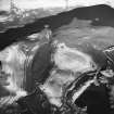
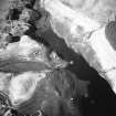
A farmstead, comprising the footings of a three compartment building and an enclosure, are recorded on a vertical aerial photograph (RAF 106G/SCOT UK 120, frame no.3258, 20 June 1946) taken before the construction of the Upper Glendevon Reservoir. The building is depicted roofless on the 1st edition of the OS 6-inch map (Perthshire and Clackmannanshire 1866, sheet cxxvii), while only part of the adjacent enclosure is shown.
A field-system, comprising an irregular system of field-banks, can also be seen on the photographs. One of the field-banks banks cuts across the spur to the NE of the farmstead and may have been a head-dyke. Three small subsquare enclosures (NN 9129 0447, NN 9124 0446, NN 9119 0446) are scattered across the ridge amongst the fields. To the NE of the possible head-dyke there is what may be a three-armed, turf-walled sheep shelter (NN 9134 0450). A hollow trackway can be seen cutting into the side of the gully on the E bank of the Broich Burn, leading from the farmstead to a ford on the burn immediately to the SE of Backhill farmsteading (NN90SW 7).
Information from RCAHMS (DCC), 25 March 2002.
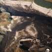
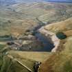
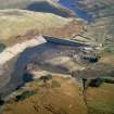
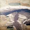
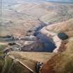
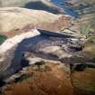
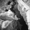
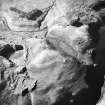
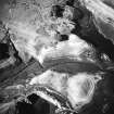
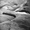
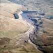
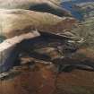
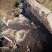
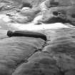
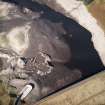
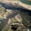
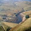
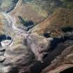
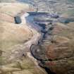
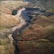
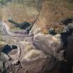
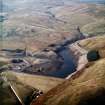
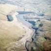
The farmstead has been recorded on oblique aerial photographs (RCAHMSAP 2003), the farmstead building and enclosure were recorded during low water levels, as was the quarrying activity associated with the dams construction.
Information from RCAHMS (ALD), 24 May 2004.
Measured Survey (8 October 2003)
A GPS survey of the archaeology within the area of the Upper Glendevon Reservoir was undertaken by RCAHMS on 8th October 2003. Water levels in the reservoir had fallen substantially over the summer and autumn leaving the sites exposed.


