Helensburgh, Woodend Battery
Anti Aircraft Battery (20th Century)
Site Name Helensburgh, Woodend Battery
Classification Anti Aircraft Battery (20th Century)
Alternative Name(s) An2; Clyde Aa Defences; Ardencaple Wood
Canmore ID 106355
Site Number NS28SE 37
NGR NS 2920 8388
NGR Description Centred NS 2920 8388
Datum OSGB36 - NGR
Permalink http://canmore.org.uk/site/106355
- Council Argyll And Bute
- Parish Rhu
- Former Region Strathclyde
- Former District Dumbarton
- Former County Dunbartonshire
NS28SE 37 centred 2920 8388
This anti-aircraft battery is situated on the N side of Helensburgh near Ardencaple Wood.
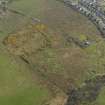
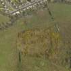
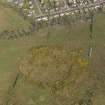
The battery has recently been demolished and the four gun emplacements and command post with two additional holdfasts on each flank have been reduced to piles of rubble. There are many hut bases to the SW of the battery where the accommodation for crew was located. On the W side, are blast walls for what could have been three Nissen hut magazines with paths leading to the gun positions.
Records show the armament at one stage to be 3.7-inch guns.
Information from Mr J Guy, August 1996
Recorded by MR J Guy in the course of the Strathclyde Survey. The GL-mat (gun-laying radar mat) is depicted on the current OS 1:10000 map. (information from RCAHMS {DE}, May 2001)
J Guy 2001; NMRS MS 810/11, Part 2, 113-14, Vol.2 (appendix), 11-12
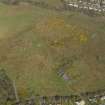
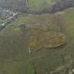
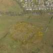
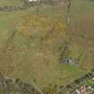
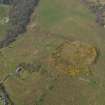
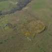
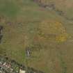
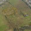
A RAF WW II oblique aerial photograph (F 309, 3656, flown 6 JUne 1941), shows the battery before the erection of the Gl-mat for the radar unit. In addition a possible dummy battery and the accommodation camp are clearly visible on the photograph. (Battery is also shown on vertical air photographs taken in 1985 which show that traces on the dummy battery survived to that date).
Information from RCAHMS (DE), November 2005.
Measured Survey (2016)
NS 2930 8370 The site of a WW2 heavy anti-aircraft gun installation was surveyed. Four gun positions are arranged in an arc around an underground command post and surrounded by a perimeter fence, all are poorly preserved. A further two gun positions were identified and these
may be the remains of 4.7" guns installed after the usual 3.75" guns described above. Three ammunition stores were identified. Of particular interest at this site are four gun positions surrounded by earth banks and which may predate all of the others, indicating three phases of gun
installation. A large 130m diameter platform nearby was the position of a radar mat installation. An adjacent camp area consists of the remains of 23 buildings, only seen as concrete platforms, some with collapsed roofs. The project is part of a complete survey of military remains along the
North Clyde Estuary coastline.
Report: NRHE, WoSAS and on www.spanglefish.com/
NorthClydeArchaeologicalSociety/index.asp
Sandra Kelly – North Clyde Archaeological Society
(Source: DES, Volume 17)


