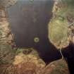
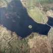
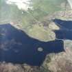
Accessibility

Font Size

100% 150% 200%

Background Colour

Default Contrast
Close Reset

Aerial Photography

Date 22 April 2005

Event ID 1163926

Category Recording

Type Aerial Photography

Permalink http://canmore.org.uk/event/1163926
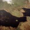
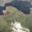
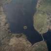
People and Organisations

Digital Images

Oblique aerial view centred on the tower and remains of the dun with the remains of the township adjacent, taken from the ESE.
Oblique aerial view centred on the tower and remains of the dun with the remains of the township adjacent, taken from the ESE.Oblique aerial view centred on the tower and remains of the dun with the house, farmstead and the remains of the township adjacent, taken from the SSE.Oblique aerial view centred on the farmstead and house with the tower and remains of the dun and township adjacent, taken from the NW.Oblique aerial view centred on the tower and remains of the dun with the remains of the township adjacent, taken from the S.Oblique aerial view centred on the tower and remains of the dun with the remains of the township adjacent, taken from the SE.Oblique aerial view centred on the farmstead and house with the tower and remains of the dun adjacent, taken from the NNW.Oblique aerial view centred on the farmstead and house with the tower and remains of the dun and township adjacent, taken from the NW.Oblique aerial view centred on the farmstead and house with the tower and remains of the dun adjacent, taken from the WNW.Oblique aerial view centred on the tower and remains of the dun with the house, farmstead and the remains of the township adjacent, taken from the SSE.Oblique aerial view centred on the tower and remains of the dun with the remains of the township adjacent, taken from the ESE.

References