|
Digital Files (Non-image) |
TM 000682 |
GPS recorded flight path and map for Sortie 2017/02 |
15/1/2016 |
Item Level |
 |
On-line Digital Images |
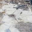
DP 228974 |
Oblique aerial view of the buildings, field system and rig at Craigend, looking NNE. |
15/1/2016 |
Item Level |
 |
On-line Digital Images |
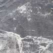
DP 228975 |
Oblique aerial view of hut circles at Craigend, looking NW. |
15/1/2016 |
Item Level |
 |
On-line Digital Images |
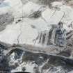
DP 228976 |
Oblique aerial view of the hut circles, buildings, field system and rig at Craigend, looking WSW. |
15/1/2016 |
Item Level |
 |
On-line Digital Images |
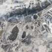
DP 228977 |
Oblique aerial view of the plantation bank at Craigend, looking ESE. |
15/1/2016 |
Item Level |
 |
On-line Digital Images |
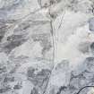
DP 228978 |
Oblique aerial view of rig and furrow at Lurgan, looking SSW. |
15/1/2016 |
Item Level |
 |
On-line Digital Images |
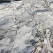
DP 228979 |
Oblique aerial view of the cairnfields at Lurgan, looking SSW. |
15/1/2016 |
Item Level |
 |
On-line Digital Images |
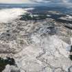
DP 228980 |
General oblique aerial view centred on Weem Hill with the cairnfields at Lurgan in the foreground, looking ENE. |
15/1/2016 |
Item Level |
 |
On-line Digital Images |
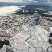
DP 228981 |
General oblique aerial view centred on Weem Hill with the cairnfields at Lurgan in the foreground, looking ENE. |
15/1/2016 |
Item Level |
 |
On-line Digital Images |
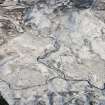
DP 228982 |
Oblique aerial view of the cairnfields at Lurgan, looking NE. |
15/1/2016 |
Item Level |
 |
On-line Digital Images |
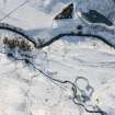
DP 228984 |
Oblique aerial view of the farmsteads at Pitmackie, looking S. |
15/1/2016 |
Item Level |
 |
On-line Digital Images |
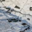
DP 228987 |
Oblique aerial view of the duns, farmsteads and field system at Caisteal Dubh, looking NNW. |
15/1/2016 |
Item Level |
 |
On-line Digital Images |
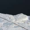
DP 228989 |
Oblique aerial view of the field system and rig at Croftmill, looking NE. |
15/1/2016 |
Item Level |
 |
On-line Digital Images |
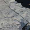
DP 228991 |
Oblique aerial view of the township, field system and rig at Croftmill, looking N. |
15/1/2016 |
Item Level |
 |
On-line Digital Images |
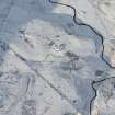
DP 228994 |
Oblique aerial view of the enclosure, rig and clearance cairns at Girron, looking WNW. |
15/1/2016 |
Item Level |
 |
On-line Digital Images |
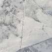
DP 228996 |
Oblique aerial view of the building, clearance cairns and military road at Corrymuckloch, looking SSW. |
15/1/2016 |
Item Level |
 |
On-line Digital Images |
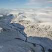
DP 228999 |
General oblique aerial view of Glenalmond with Newton and Craignavar townships in the foreground, looking W. |
15/1/2016 |
Item Level |
 |
On-line Digital Images |
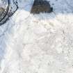
DP 229001 |
Oblique aerial view of the farmstead, field system and rig at Newton, looking SW. |
15/1/2016 |
Item Level |
 |
On-line Digital Images |
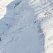
DP 229055 |
Oblique aerial view of the enclosure at John's Hill, looking ENE. |
15/1/2016 |
Item Level |
 |
On-line Digital Images |
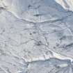
DP 229057 |
Oblique aerial view of the township, field system and hut circle at Corb Glen, looking NW. |
15/1/2016 |
Item Level |
 |
On-line Digital Images |
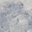
DP 229059 |
Oblique aerial view of the tracks at Scores Burn, looking SW. |
15/1/2016 |
Item Level |
 |
On-line Digital Images |
DP 229060 |
Oblique aerial view of the farmstead and tracks at Corb and Scores Burn, looking S. |
15/1/2016 |
Item Level |
 |
On-line Digital Images |
DP 228929 |
Oblique aerial view of the hut circle, farmstead and rig at Barr Salachaidh, looking WSW. |
15/1/2016 |
Item Level |
 |
On-line Digital Images |
DP 229003 |
Oblique aerial view of the Roman fort at Fendoch, looking NW. |
15/1/2016 |
Item Level |


