|
Digital Files (Non-image) |
TM 000738 |
GPS recorded flight path and map for Sortie 2015/26 |
9/7/2015 |
Item Level |
 |
On-line Digital Images |
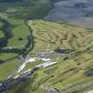
DP 216799 |
Oblique aerial view of the southern and western parts of The Old Course, looking WNW. |
9/7/2015 |
Item Level |
 |
On-line Digital Images |
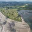
DP 216801 |
General oblique aerial view of The Old Course, looking SW. |
9/7/2015 |
Item Level |
 |
On-line Digital Images |
DP 216803 |
Oblique aerial view of the cropmarks of the field boundaries and pits, looking S. |
9/7/2015 |
Item Level |
 |
On-line Digital Images |
DP 216805 |
Oblique aerial view of the cropmarks of the rig and pits, looking NNW. |
9/7/2015 |
Item Level |
 |
On-line Digital Images |
DP 216806 |
Oblique aerial view of the cropmarks of the rig, looking NNW. |
9/7/2015 |
Item Level |
 |
On-line Digital Images |
DP 216808 |
Oblique aerial view of the cropmarks of the rig and pits, looking SSE. |
9/7/2015 |
Item Level |
 |
On-line Digital Images |
DP 216818 |
Oblique aerial view of the cropmarks of the round houses, looking ENE. |
9/7/2015 |
Item Level |
 |
On-line Digital Images |
DP 216820 |
Oblique aerial view of the cropmarks of the round houses, looking NNE. |
9/7/2015 |
Item Level |
 |
On-line Digital Images |
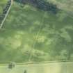
DP 216821 |
Oblique aerial view of the cropmarks of the possible round houses, rig and geological features, looking SSE. |
9/7/2015 |
Item Level |
 |
On-line Digital Images |
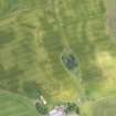
DP 216823 |
Oblique aerial view of the cropmarks of the barrow, looking ENE. |
9/7/2015 |
Item Level |
 |
On-line Digital Images |
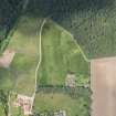
DP 216825 |
Oblique aerial view of the cropmarks of the round houses, looking NNW. |
9/7/2015 |
Item Level |
 |
On-line Digital Images |
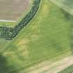
DP 216827 |
Oblique aerial view of the cropmarks of the round houses, looking WNW. |
9/7/2015 |
Item Level |
 |
On-line Digital Images |
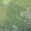
DP 216829 |
Oblique aerial view of the standing stone and the adjacent cropmarks, looking SSE. |
9/7/2015 |
Item Level |
 |
On-line Digital Images |
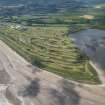
DP 216800 |
General oblique aerial view of The Old Course, looking SSW. |
9/7/2015 |
Item Level |
 |
On-line Digital Images |
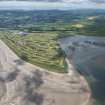
DP 216802 |
General oblique aerial view of The Old Course, looking SW. |
9/7/2015 |
Item Level |
 |
On-line Digital Images |
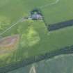
DP 216804 |
Oblique aerial view of the cropmarks of the field boundaries and pits, looking SSE. |
9/7/2015 |
Item Level |
 |
On-line Digital Images |
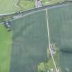
DP 216807 |
Oblique aerial view of the cropmarks of the rig, looking WSW. |
9/7/2015 |
Item Level |
 |
On-line Digital Images |
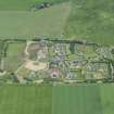
DP 216830 |
Oblique aerial view of the housing estate on the site of Clathymore farmstead, looking SSE. |
9/7/2015 |
Item Level |
 |
On-line Digital Images |
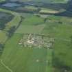
DP 216832 |
General oblique aerial view of the housing estate on the site of Clathymore farmstead, looking SSE. |
9/7/2015 |
Item Level |
 |
On-line Digital Images |
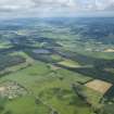
DP 216833 |
General oblique aerial view of the housing estate on the site of Clathymore farmstead with the Gask Ridge beyond and the Tay in the distance, looking SE. |
9/7/2015 |
Item Level |
 |
On-line Digital Images |
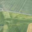
DP 216809 |
Oblique aerial view of the cropmarks of the ring ditches and the pits, looking SSE. |
9/7/2015 |
Item Level |
 |
On-line Digital Images |
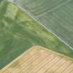
DP 216810 |
Oblique aerial view of the cropmarks of the ring ditches and the pits, looking SE. |
9/7/2015 |
Item Level |
 |
On-line Digital Images |
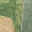
DP 216811 |
Oblique aerial view of the cropmarks of the ring ditches and the pits, looking NE. |
9/7/2015 |
Item Level |


