|
Digital Files (Non-image) |
TM 000765 |
GPS recorded flight path and map for Sortie 2014/08 |
19/2/2014 |
Item Level |
 |
On-line Digital Images |
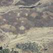
DP 189312 |
Oblique aerial view of hut circles at Big Burn near Balvonie of Leys, looking SE. |
19/2/2014 |
Item Level |
 |
On-line Digital Images |
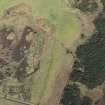
DP 189313 |
Oblique aerial view of the remains of a farmstead at Big Burn near Balvonie of Leys, looking NE. |
19/2/2014 |
Item Level |
 |
On-line Digital Images |
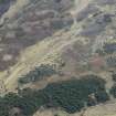
DP 189314 |
Oblique aerial view of hut circles at Big Burn near Balvonie of Leys, looking SE. |
19/2/2014 |
Item Level |
 |
On-line Digital Images |
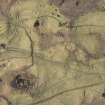
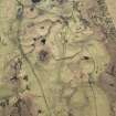
DP 189315 |
Oblique aerial view of hut circles and rig at Achvraid, looking E. |
19/2/2014 |
Item Level |
 |
On-line Digital Images |
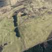
DP 189317 |
Oblique aerial view of hut circles, rig and field system at Achvraid, looking NNE. |
19/2/2014 |
Item Level |
 |
On-line Digital Images |
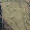
DP 189320 |
Oblique aerial view of hut circles, small cairns, field system and rig and furrow at Achvraid and Carn Glas cairns, looking ESE. |
19/2/2014 |
Item Level |
 |
On-line Digital Images |
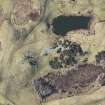
DP 189322 |
Oblique aerial view of the field system at Achvraid, looking NNE. |
19/2/2014 |
Item Level |
 |
On-line Digital Images |
DP 189324 |
Oblique aerial view of the Carn Glas cairns, looking W. |
19/2/2014 |
Item Level |
 |
On-line Digital Images |
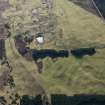
DP 189327 |
Oblique aerial view of Achvraid and Drumossie Moor field systems and Carn Glas cairns, looking SW. |
19/2/2014 |
Item Level |
 |
On-line Digital Images |
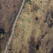
DP 189329 |
Oblique aerial view of Drumashie Moor hut circles near General Wade's military road, looking NNE. |
19/2/2014 |
Item Level |
 |
On-line Digital Images |
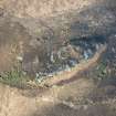
DP 189331 |
Oblique aerial view of Caistal an Dunriachaidh, looking NW. |
19/2/2014 |
Item Level |
 |
On-line Digital Images |
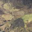
DP 189332 |
Oblique aerial view of the hut circles and rig at Torr an Daimh, looking ENE. |
19/2/2014 |
Item Level |
 |
On-line Digital Images |
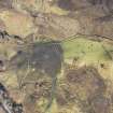
DP 189333 |
Oblique aerial view of the hut circles and rig at Torr an Daimh, looking NE. |
19/2/2014 |
Item Level |
 |
On-line Digital Images |
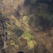
DP 189334 |
Oblique aerial view of the hut circles and rig at Torr an Daimh, looking N. |
19/2/2014 |
Item Level |
 |
On-line Digital Images |
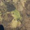
DP 189335 |
Oblique aerial view of the hut circles and rig at Torr an Daimh, looking NNW. |
19/2/2014 |
Item Level |
 |
On-line Digital Images |
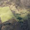
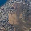
DP 189336 |
Oblique aerial view of the depopulated township of Loch Duntelchaig, looking SW. |
19/2/2014 |
Item Level |
 |
On-line Digital Images |
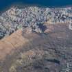
DP 189337 |
Oblique aerial view of Carn Mor hut circle, field system and rig, looking NNE. |
19/2/2014 |
Item Level |
 |
On-line Digital Images |
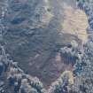
DP 189338 |
Oblique aerial view of Carn Mor hut circle, field system and rig, looking WNW. |
19/2/2014 |
Item Level |
 |
On-line Digital Images |
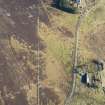
DP 189339 |
Oblique aerial view of Carn Mor hut cicle, field system and rig, looking S. |
19/2/2014 |
Item Level |
 |
On-line Digital Images |
DP 189340 |
Oblique aerial view of Dalcrombie hut circle, township, field system and rig, looking ESE. |
19/2/2014 |
Item Level |
 |
On-line Digital Images |
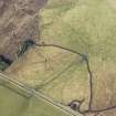
DP 189342 |
Oblique aerial view of Ballachar township and hut circles, looking NNW. |
19/2/2014 |
Item Level |
 |
On-line Digital Images |
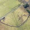
DP 189344 |
Oblique aerial view of Ballachar township and small cairns, looking SW. |
19/2/2014 |
Item Level |
 |
On-line Digital Images |
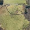
DP 189346 |
Oblique aerial view of Ballachar township and small ciarns, looking S. |
19/2/2014 |
Item Level |


