|
Digital Files (Non-image) |
TM 000830 |
GPS recorded flight path and map for Sortie 2013/27 |
14/7/2013 |
Item Level |
 |
On-line Digital Images |
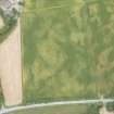
DP 166686 |
Oblique aerial view of the cropmarks of the roundhouse and trackway, looking WNW. |
14/7/2013 |
Item Level |
 |
On-line Digital Images |
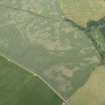
DP 166687 |
Oblique aerial view of the cropmarks of the possible palisaded enclosure, ring ditches and pits, looking NW. |
14/7/2013 |
Item Level |
 |
On-line Digital Images |
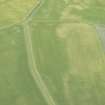
DP 166689 |
Oblique aerial view of the cropmarks of the barrows, unenclosed settlement, field boundary and pits, looking WSW. |
14/7/2013 |
Item Level |
 |
On-line Digital Images |
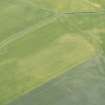
DP 166691 |
Oblique aerial view of the cropmarks of the barrows, unenclosed settlement, field boundary and pits, looking S. |
14/7/2013 |
Item Level |
 |
On-line Digital Images |
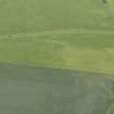
DP 166692 |
Oblique aerial view of the cropmarks of the barrows, unenclosed settlement, field boundary and pits, looking SSE. |
14/7/2013 |
Item Level |
 |
On-line Digital Images |
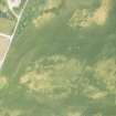
DP 166706 |
Oblique aerial view of the cropmarks of the possible building and pits, looking NE. |
14/7/2013 |
Item Level |
 |
On-line Digital Images |
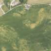
DP 166707 |
Oblique aerial view of the cropmarks of the ring ditch, possible building and pits, looking NNW. |
14/7/2013 |
Item Level |
 |
On-line Digital Images |
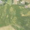
DP 166708 |
Oblique aerial view of the cropmarks of the ring ditch, possible building and pits, looking NW. |
14/7/2013 |
Item Level |
 |
On-line Digital Images |
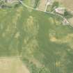
DP 166709 |
Oblique aerial view of the cropmarks of the ring ditch, possible building and pits, looking WNW. |
14/7/2013 |
Item Level |
 |
On-line Digital Images |
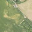
DP 166710 |
Oblique aerial view of the cropmarks of the ring ditch, possible building and pits, looking W. |
14/7/2013 |
Item Level |
 |
On-line Digital Images |
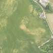
DP 166711 |
Oblique aerial view of the cropmarks of the ring ditch, possible building and pits, looking W. |
14/7/2013 |
Item Level |
 |
On-line Digital Images |
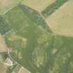
DP 166712 |
Oblique aerial view of the cropmarks of the ring ditch, possible building and pits, looking E. |
14/7/2013 |
Item Level |
 |
On-line Digital Images |
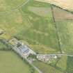
DP 166713 |
Oblique aerial view of the cropmarks of the quarry and pits, looking N. |
14/7/2013 |
Item Level |
 |
On-line Digital Images |
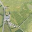
DP 166715 |
Oblique aerial view of the cropmarks of the quarry and pits, looking NW. |
14/7/2013 |
Item Level |
 |
On-line Digital Images |
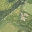
DP 166718 |
Oblique aerial view of the cropmarks of the field boundary and pits, looking S. |
14/7/2013 |
Item Level |
 |
On-line Digital Images |
DP 166720 |
Oblique aerial view of the cropmarks of the rig and pits, looking NNE. |
14/7/2013 |
Item Level |
 |
On-line Digital Images |
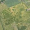
DP 166722 |
Oblique aerial view of the cropmarks of the enclosures and pits, looking NW. |
14/7/2013 |
Item Level |
 |
On-line Digital Images |
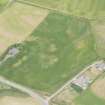
DP 166725 |
Oblique aerial view of the cropmarks of the rig and furrow, looking SE. |
14/7/2013 |
Item Level |
 |
On-line Digital Images |
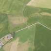
DP 166727 |
Oblique aerial view of the cropmarks of the farmstead, rig and pits, looking S. |
14/7/2013 |
Item Level |
 |
On-line Digital Images |
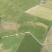
DP 166729 |
Oblique aerial view of the cropmarks of the farmstead, rig and pits, looking SSE. |
14/7/2013 |
Item Level |
 |
On-line Digital Images |
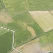
DP 166731 |
Oblique aerial view of the cropmarks of the farmstead, rig and pits, looking ESE. |
14/7/2013 |
Item Level |
 |
On-line Digital Images |
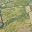
DP 166734 |
Oblique aerial view of the cropmarks of the possible round house, sunken floored building, field boundary, rig and pits, looking NNE. |
14/7/2013 |
Item Level |
 |
On-line Digital Images |
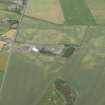
DP 166735 |
Oblique aerial view of the cropmarks of the field boundaries and pits, looking NE. |
14/7/2013 |
Item Level |


