|
Digital Files (Non-image) |
TM 000835 |
GPS recorded flight path and map for Sortie 2013/33 |
31/7/2013 |
Item Level |
 |
On-line Digital Images |
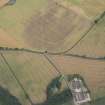
DP 163319 |
Oblique aerial view of the cropmarks of the cursus, barrows, enclosure, ring ditches and rig, looking ESE. |
31/7/2013 |
Item Level |
 |
On-line Digital Images |
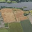
DP 163321 |
Oblique aerial view of the cropmarks of the field boundary and rig, looking E. |
31/7/2013 |
Item Level |
 |
On-line Digital Images |
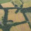
DP 163323 |
Oblique aerial view of the cropmarks of the enclosures, pits and rig, looking E. |
31/7/2013 |
Item Level |
 |
On-line Digital Images |
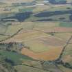
DP 163316 |
Oblique aerial view of the cropmarks of the cursus, barrows, enclosure and ring ditches, looking S. |
31/7/2013 |
Item Level |
 |
On-line Digital Images |
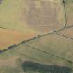
DP 163318 |
Oblique aerial view of the cropmarks of the cursus, barrows, enclosure and ring ditches, looking SE. |
31/7/2013 |
Item Level |
 |
On-line Digital Images |
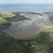
DP 163329 |
General oblique aerial view centred on Loch Fleet, looking ESE. |
31/7/2013 |
Item Level |
 |
On-line Digital Images |
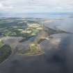
DP 163331 |
General oblique aerial view with Poll na Caorach in the foreground and Dornoch Firth beyond, looking E. |
31/7/2013 |
Item Level |
 |
On-line Digital Images |
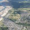
DP 163333 |
General oblique aerial view centred on Nairn with Culbin sands beyond, looking NE. |
31/7/2013 |
Item Level |
 |
On-line Digital Images |
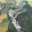
DP 164306 |
General oblique aerial view centred on the River Spey with Spey Viaduct beyond, looking N. |
31/7/2013 |
Item Level |
 |
On-line Digital Images |
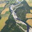
DP 164307 |
General oblique aerial view centred on the River Spey with Spey Viaduct beyond, looking N. |
31/7/2013 |
Item Level |
 |
On-line Digital Images |
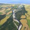
DP 164308 |
General oblique aerial view centred on the River Spey with Spey Viaduct beyond, looking N. |
31/7/2013 |
Item Level |
 |
On-line Digital Images |
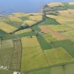
DP 164309 |
General oblique aerial view centred on the geological cropmarks at Braco Den with Crovie and Gardenstown beyond, looking NNW. |
31/7/2013 |
Item Level |
 |
On-line Digital Images |
DP 164310 |
General oblique aerial view centred on Long Nose Fort with Hill of Troup beyond, looking SW. |
31/7/2013 |
Item Level |
 |
On-line Digital Images |
DP 164311 |
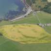
General oblique aerial view centred on Long Nose Fort with Hill of Troup beyond, looking SW. |
31/7/2013 |
Item Level |
 |
On-line Digital Images |
DP 164312 |
Oblique aerial view of the cropmarks of a field boundary near Pennan, looking NE. |
31/7/2013 |
Item Level |
 |
On-line Digital Images |
DP 164320 |
Oblique aerial view of Forvie Church, looking E. |
31/7/2013 |
Item Level |
 |
On-line Digital Images |
DP 164321 |
Oblique aerial view of boats off Aberdeen, looking E. |
31/7/2013 |
Item Level |
 |
On-line Digital Images |
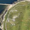
DP 164322 |
Oblique aerial view of the Torry coastal battery, looking E. |
31/7/2013 |
Item Level |
 |
On-line Digital Images |
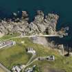
DP 164323 |
Oblique aerial view of Cove Harbour, looking SE. |
31/7/2013 |
Item Level |
 |
On-line Digital Images |
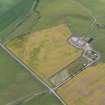
DP 164313 |
Oblique aerial view of the cropmarks of the field boundary, looking W. |
31/7/2013 |
Item Level |
 |
On-line Digital Images |
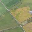
DP 164314 |
Oblique aerial view of the cropmarks of the field boundary, looking W. |
31/7/2013 |
Item Level |
 |
On-line Digital Images |
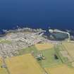
DP 164315 |
General oblique aerial view centred on Sandhaven, looking NNE. |
31/7/2013 |
Item Level |
 |
On-line Digital Images |
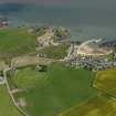
DP 164316 |
General oblique aerial view centred on Collieston, looking SE. |
31/7/2013 |
Item Level |


