 |
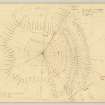
On-line Digital Images |
DP 151601 |
RCAHMS Marginal Land Survey pencil plane table survey drawing, and 50% reduction, |
12/10/1955 |
Item Level |
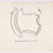 |
On-line Digital Images |
DP 151602 |
RCAHMS Marginal Land Survey inked drawing, |
c. 1955 |
Item Level |
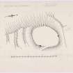 |
On-line Digital Images |
DP 151603 |
RCAHMS Marginal Land Survey inked drawing, |
c. 1955 |
Item Level |
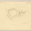 |
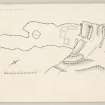
On-line Digital Images |
DP 151604 |
RCAHMS Marginal Land Survey pencil plane table survey drawing, |
25/6/1955 |
Item Level |
 |
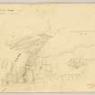
On-line Digital Images |
DP 151605 |
RCAHMS Marginal Land Survey inked drawing, |
c. 1955 |
Item Level |
 |
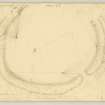
On-line Digital Images |
DP 151606 |
RCAHMS Marginal Land Survey pencil plane table survey drawing, |
11/10/1955 |
Item Level |
 |
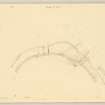
On-line Digital Images |
DP 151607 |
Plane-table survey (1 of 2); fort at Cairn Pat. |
21/6/1955 |
Item Level |
 |
On-line Digital Images |
DP 151608 |
Plane-table survey (2 of 2); fort at Cairn Pat. |
21/6/1955 |
Item Level |
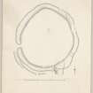 |
On-line Digital Images |
DP 151609 |
Inked drawing; fort at Cairn Pat. |
c. 1955 |
Item Level |
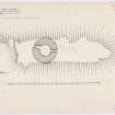 |
On-line Digital Images |
DP 151571 |
RCAHMS, inked plan of broch and outwork. Incomplete. |
c. 1955 |
Item Level |
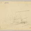 |
On-line Digital Images |
DP 151572 |
RCAHMS pencil plane table survey plan, |
29/6/1955 |
Item Level |
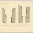 |
On-line Digital Images |
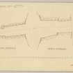
DP 151573 |
RCAHMS, inked detail drawing of south and north entrances. |
c. 1955 |
Item Level |
 |
On-line Digital Images |
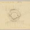
DP 151574 |
RCAHMS pencil detail of entrances, |
29/6/1955 |
Item Level |
 |
On-line Digital Images |
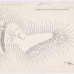
DP 151575 |
RCAHMS plane-table survey. |
29/6/1955 |
Item Level |
 |
On-line Digital Images |
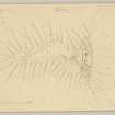
DP 151576 |
RCAHMS Marginal Land Survey inked plan, |
c. 1955 |
Item Level |
 |
On-line Digital Images |
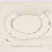
DP 151577 |
RCAHMS Marginal Land Survey pencil plane table survey drawing, |
27/6/1955 |
Item Level |
 |
On-line Digital Images |
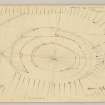
DP 151578 |
RCAHMS Marginal Land Survey inked plan, |
c. 1955 |
Item Level |
 |
On-line Digital Images |
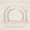
DP 151579 |
RCAHMS Marginal Land Survey pencil plane table survey drawing, and 50% reduction. |
9/10/1955 |
Item Level |
 |
On-line Digital Images |
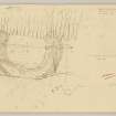
DP 151580 |
RCAHMS Marginal Land Survey inked plan, |
c. 1955 |
Item Level |
 |
On-line Digital Images |
DP 151581 |
RCAHMS Marginal Land Survey pencil plane table plan and profile, |
10/10/1955 |
Item Level |
 |
On-line Digital Images |
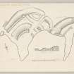
DP 151582 |
Inked plan: forts at Burrow Head. |
c. 1955 |
Item Level |
 |
On-line Digital Images |
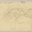
DP 151583 |
Plane table survey: forts at Burrow Head |
11/10/1955 |
Item Level |
|
Prints and Drawings |
WGD 20/2 |
Plane-table survey; Steinhead Motte, promontory fort. |
10/10/1955 |
Item Level |
|
Prints and Drawings |
WGD 4/2 |
RCAHMS Marginal Land Survey pencil plane table plan and profile, |
10/10/1955 |
Item Level |


